What is recorded here
Clearwater Bridge spans the Shannon at Portloe, connecting Clare and Tipperary across one of Ireland's widest river mouths. The bridge carries the N18 national primary route, linking Limerick city with Ennis and the western counties. Its steel arches rise above tidal waters where salmon still climb from the Atlantic. Drivers crossing at dusk watch the river widen into a shallow sea, the bridge decks swinging slightly in crosswinds. The structure has carried trucks, buses and thousands of commuter cars since opening in the 1960s, becoming an essential artery for western Ireland.
The Archaeological Survey of Ireland (ASI) is in the process of providing information on all monuments on The Historic Environment Viewer (HEV). Currently the information for this record has not been uploaded. To access available information for research purposes please make an appointment in advance with the Archive Unit (open Fridays 10.00 am – 5.00 pm), Department of Housing, Local Government and Heritage, The Custom House, Dublin 1 D01W6XO or email NMarchive@housing.gov.ie.
The monument record does not grant public access. Check the route and ask the landowner before entering private land.
- What survives
- Recorded monument
Places near here
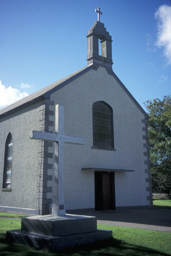 Catholic Church of the Blessed Virgin Marychurch/chapel · 1095 yd
 Carrigaholt BayVisitor information · 1250 yd
 Carrigaholt Bridgebridge · 1254 yd
 Enclosure in CloonconeenEnclosure · 1428 yd
 LissagreenaunFairy fort / earthen ringfort · 1740 yd
 Carrigaholt CastleCastle, tower house · 1.0 mi
 Cloonconeen PointHeadland · 1.1 mi
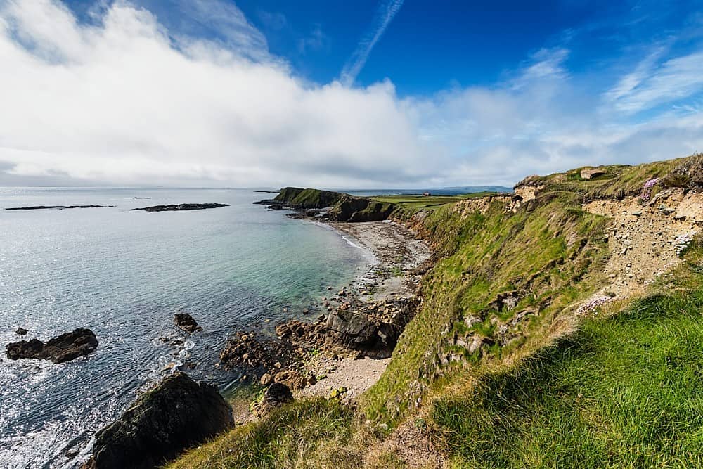 Rinevella PointHeadland · 1.5 mi
 Knocknagarhoon CastleRuins · 2.7 mi
 Glasheen BeachBeach / strand · 3.3 mi
 IllaunonearaunIslet · 3.6 mi
 Ocean Rowers MemorialMemorial · 3.7 mi