What is recorded here
Fairy forts are human places misnamed, often by people afraid of darkness or eager for wonder. In Raheenroe the ring is easy to judge because it preserves its shape: a circular earthwork on a low hill, with a causeway at one side and faint cultivation lines across the interior. People may have lived there, tended animals, or abandoned it when the land changed. The fairy name does not remove them; it only admits that the place still resists easy explanation.
In pasture, on crest of low hill. Circular area (29m N-S; 28.5m E-W) enclosed by earthen bank (ext. H 3.2m), with external fosse (D 1m). Bank planted with conifers; broken to SSW and WNW; entrance with causeway to E (Wth 7.4m), partially blocked by stone wall. Faint traces of cultivation ridges cross interior on E-W axis.
The above description is derived from the published 'Archaeological Inventory of County Cork. Volume 1: West Cork' (Dublin: Stationery Office, 1992). In certain instances the entries have been revised and updated in the light of recent research.
Date of upload/revision: 14 January 2009
The monument record does not grant public access. Check the route and ask the landowner before entering private land.
- What survives
- Recorded monument
Places near here
 Man-made underground passage in Laharan (carbery West (w.d) By.)Man-made underground passage · 881 yd
 LissabogyFairy fort / earthen ringfort · 1435 yd
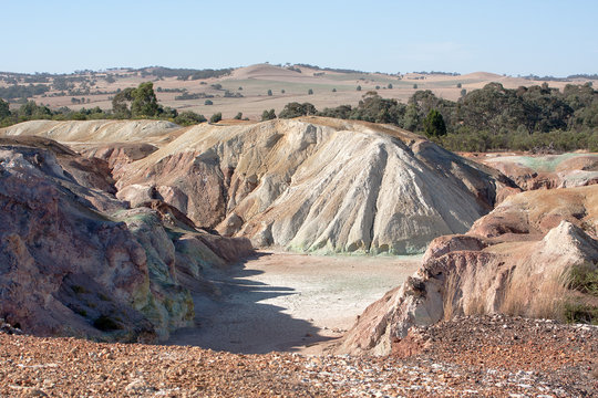 MineMine, copper · 1552 yd
 Mount CorrinMountain / peak · 1.3 mi
 Mount GabrielMountain / peak · 1.3 mi
 Mount Gabriel View Point toward SouthViewpoint · 1.3 mi
 Mount Gabriel View Point toward NorthViewpoint · 1.4 mi
 RC Chapel (in Ruins)Church · 1.8 mi
 Dunbeacon Castle (in Ruins)Castle, tower house · 2.5 mi
 Mannion's Island (Large)Islet · 2.5 mi
 Mannion's Island (Small)Islet · 2.6 mi
 Rossmore Castle (in Ruins)Castle, tower house · 2.7 mi