What is recorded here
Fairy fort / earthen ringfort in Raghly is a fairy fort or earthen ringfort in Raghly, County Sligo, Ireland. The first edition Ordnance Survey map from 1837 showed only the north half of the enclosure because the sea had washed away the remainder. Later surveys stopped showing the site, and a house and garden occupied the place when inspected in 1991.
This monument is represented on the 1st ed. OS 6-inch map (1837). Only the N half of the enclosure remained at this time, the remainder undoubtedly having been washed away by the sea. It is not shown on the OS 1:2500 plan (surveyed 1909-12). On inspection in 1991 there was no visible surface trace and a house and garden had been built on the site.
Compiled by: Paul Walsh
Date of upload: 20 October 2014
The monument record does not grant public access. Check the route and ask the landowner before entering private land.
- What survives
- Recorded monument
Places near here
 Coastguard StationRuins · 264 yd
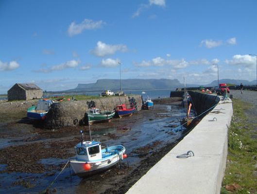 Raghly Harbourharbour/dock/port · 338 yd
 Pilot's LookoutRuins · 487 yd
 Ardtermon StrandBeach / strand · 1615 yd
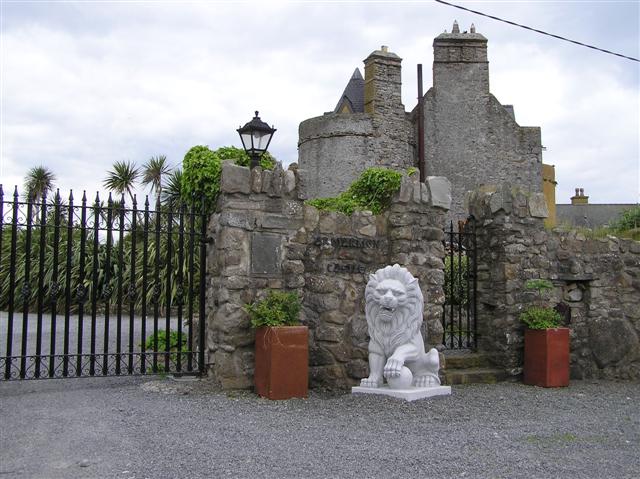 Bawn in ArdtermonBawn · 1.2 mi
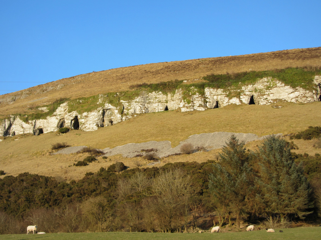 Enclosure in BallymuldorryEnclosure · 1.2 mi
 Yellow StrandBeach / strand · 1.3 mi
 Druid's AltarArchaeological place · 1.8 mi
 Horse IslandIslet · 1.8 mi
 Sligo BayBay · 2.0 mi
 Knocklane CastleRuins · 2.2 mi
 Maguins IslandIslet · 3.0 mi