What is recorded here
This monument is represented on the 1st ed. OS 6-inch map (1837). Only the N half of the enclosure remained at this time, the remainder undoubtedly having been washed away by the sea. It is not shown on the OS 1:2500 plan (surveyed 1909-12). On inspection in 1991 there was no visible surface trace and a house and garden had been built on the site.
Compiled by: Paul Walsh
Date of upload: 20 October 2014
The monument record does not grant public access. Check the route and ask the landowner before entering private land.
- What survives
- Recorded monument
Places near here
 Coastguard StationRuins · 264 yd
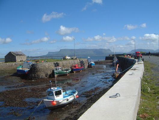 Raghly Harbourharbour/dock/port · 338 yd
 Pilot's LookoutRuins · 487 yd
 Ardtermon StrandBeach / strand · 1615 yd
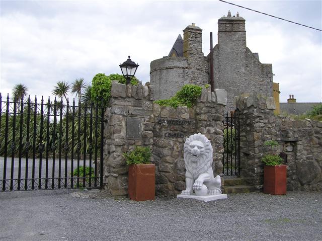 Bawn in ArdtermonBawn · 1.2 mi
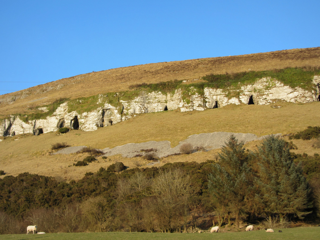 Enclosure in BallymuldorryEnclosure · 1.2 mi
 Yellow StrandBeach / strand · 1.3 mi
 Druid's AltarArchaeological place · 1.8 mi
 Horse IslandIslet · 1.8 mi
 Sligo BayBay · 2.0 mi
 Knocklane CastleRuins · 2.2 mi
 Maguins IslandIslet · 3.0 mi