What is recorded here
Mortons Port and the silted harbour at Cloggh, where the Shannon met the sea before the coast moved, belong to the old boundary when Clare and Tipperary still argued over water and trade. The port may have crowded with boats, barges and men hauling goods up the river, while Cloggh dropped its anchor in a harbour that no longer exists. What is lost is not trivial. It is the shape of a region when the river still reached the ocean and people read the tide as a road.
The Archaeological Survey of Ireland (ASI) is in the process of providing information on all monuments on The Historic Environment Viewer (HEV). Currently the information for this record has not been uploaded. To access available information for research purposes please make an appointment in advance with the Archive Unit (open Fridays 10.00 am – 5.00 pm), Department of Housing, Local Government and Heritage, The Custom House, Dublin 1 D01W6XO or email NMarchive@housing.gov.ie.
The monument record does not grant public access. Check the route and ask the landowner before entering private land.
- What survives
- Recorded monument
Places near here
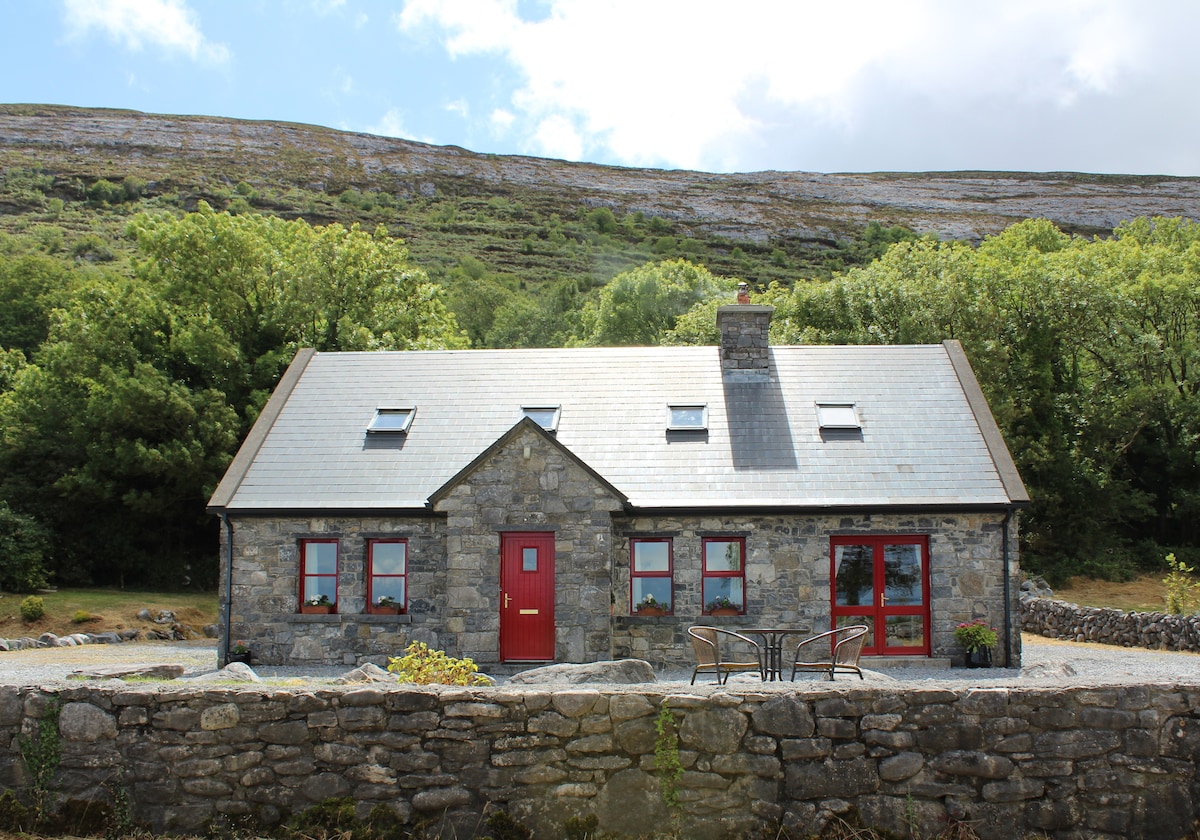 CorlisFairy fort / earthen ringfort · 183 yd
 Corlis Point Front Leading LightLighthouse · 232 yd
 Querrin PointHeadland · 1742 yd
 Enclosure in QuerrinEnclosure · 1.1 mi
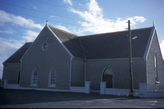 Catholic Church of the Holy Spiritchurch/chapel · 1.7 mi
 Glasheen BeachBeach / strand · 1.9 mi
 Beal PointHeadland · 2.7 mi
 Beal Castle (in ruins)Castle, Anglo-Norman masonry castle · 3.0 mi
 Scattery IslandIsland · 3.7 mi
 FortCastle · 3.8 mi
 Scattery Island Visitor CentreVisitor information · 3.8 mi
 Diamond RockHeritage attraction · 4.9 mi