What is recorded here
Querrin holds a faded ringfort where clay and patience built a small defensible life. It is the kind of place people mislabelled because the shape still suggests more than it explains. A family, a herdsman or a fleeing household may have stood inside that circle when the land felt uncertain. The fort no longer argues with anyone. It waits for eyes sharp enough to stop inventing and watch what remains.
The Archaeological Survey of Ireland (ASI) is in the process of providing information on all monuments on The Historic Environment Viewer (HEV). Currently the information for this record has not been uploaded. To access available information for research purposes please make an appointment in advance with the Archive Unit (open Fridays 10.00 am – 5.00 pm), Department of Housing, Local Government and Heritage, The Custom House, Dublin 1 D01W6XO or email NMarchive@housing.gov.ie.
The monument record does not grant public access. Check the route and ask the landowner before entering private land.
- What survives
- Recorded monument
Places near here
 IndicatedFairy fort / earthen ringfort · 736 yd
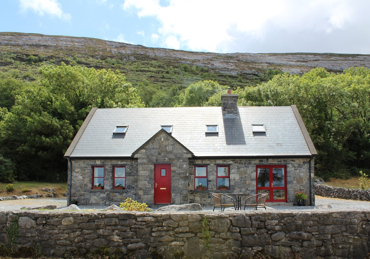 CorlisFairy fort / earthen ringfort · 1309 yd
 Corlis Point Front Leading LightLighthouse · 1416 yd
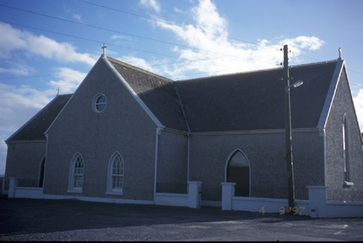 Catholic Church of the Holy Spiritchurch/chapel · 1.2 mi
 Querrin PointHeadland · 1.4 mi
 Glasheen BeachBeach / strand · 1.5 mi
 Beal PointHeadland · 3.1 mi
 Beal Castle (in ruins)Castle, Anglo-Norman masonry castle · 3.5 mi
 Carrigaholt CastleCastle, tower house · 3.8 mi
 Kilkee CliffsViewpoint · 4.3 mi
 Diamond RockHeritage attraction · 4.3 mi
 IllaunawhillaIslet · 4.4 mi