What is recorded here
Situated in undulating countryside on a natural hillock which has been scarped to form a possible ringfort. Present remains consist of a roughly circular area (diam. NW-SE 41m) defined by a poorly preserved earth and stone bank which has been mainly reduced to a scarp (H 1-2m) from N through E to S where it survives as a field fence, elsewhere it has been destroyed.
The above description is derived from 'The Archaeological Inventory of County Tipperary. Vol. 1 - North Tipperary' compiled by Jean Farrelly and Caimin O'Brien (Dublin: Stationery Office, 2002). In certain instances the entries have been revised and updated in the light of recent research.
Date of upload/revision: 22 September 2008
This remains an important historical record, but the official description says the monument is no longer visible or has been destroyed. The monument record does not grant public access. Check the route and ask the landowner before entering private land.
- What survives
- No visible remains or recorded as destroyed
Places near here
 Enclosure in RathEnclosure · 851 yd
 IndicatedFairy fort / earthen ringfort · 1190 yd
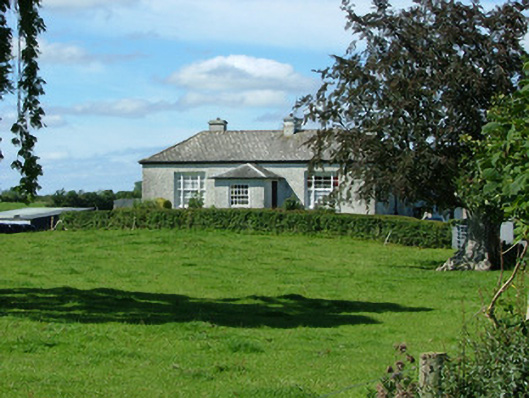 Rathenny Cottagefarm house · 1464 yd
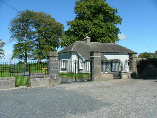 Rathenny Housegate lodge · 1612 yd
 Knockane CastleCastle · 1.5 mi
 Kyleroe WoodWood · 1.5 mi
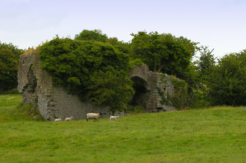 Bawn in CullenwaineBawn · 1.6 mi
 BenduffMountain / peak · 3.9 mi
 Thomas MacDonagh Heritage CentreMuseum · 4.3 mi
 MacDonagh HouseMemorial · 4.3 mi
 Ballycapple WoodForest · 4.4 mi
 Borrisnoe MountainMountain / peak · 4.8 mi