What is recorded here
Fairy fort in Park, Athenry: 46m circular earthen ring, bank and outside ditch, much of the bank levelled but the ditch still tracing most of the circle. In flat Galway pasture it looks less like a ruin than a forgotten boundary, a place where people may have kept fire, tools and children safe while the land around remained open to weather and change. The name Fairy fort does not claim fairies; it records the old temptation to believe the hidden circle belonged to something older and less reasonable than people.
In level pastureland. Circular rath (diam. 46m), in fair condition, defined by a bank and external fosse. From NW to NNE and from SE to W the bank has been almost levelled. The fosse survives from SSW through N to E. (Cody 1989, 211-12, no. 59)
Compiled by: Galway Archaeological Survey, UCG
Date of upload: 14 December 2017
The monument record does not grant public access. Check the route and ask the landowner before entering private land.
- What survives
- Recorded monument
Places near here
 Field system in Carnaun (athenry By.)Field system · 1492 yd
 Convent (in ruins)Castle, ringwork · 1567 yd
 RoadRoad, road/trackway · 1575 yd
 Castle (in Ruins)Castle, unclassified · 1737 yd
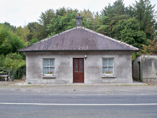 Castle Ellen Housegate lodge · 1.0 mi
 IndicatedEnclosure · 1.1 mi
 First Battle of Athenrybattle · 1.1 mi
 Horse-chestnutHorse-chestnut · 1.5 mi
 Athenry CastleHeritage attraction · 1.7 mi
 Athenry AbbeyHeritage attraction · 1.8 mi
 The HazelWood · 3.2 mi
 Leadmine HillMountain / peak · 9.8 mi