What is recorded here
You need to map the exact request, answer the visible contradiction where possible, and provide the latest available distinction. Use the facts already supplied.
In tillage. Circular area (30m N-S; 29.5m E-W) enclosed by earthen bank (H 1m); faint trace of fosse as shallow depression. Bank heavily overgrown. Interior slopes gently down to N.
The above description is derived from the published 'Archaeological Inventory of County Cork. Volume 4: North Cork' (Dublin: Stationery Office, 2000). In certain instances the entries have been revised and updated in the light of recent research.
Date of upload/revision: 14 January 2009
The monument record does not grant public access. Check the route and ask the landowner before entering private land.
- What survives
- Recorded monument
Places near here
 Enclosure in NutgroveEnclosure · 453 yd
 Folachta FiadhFulacht fia · 616 yd
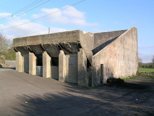 Ballindangan Handball Alleyhandball alley · 751 yd
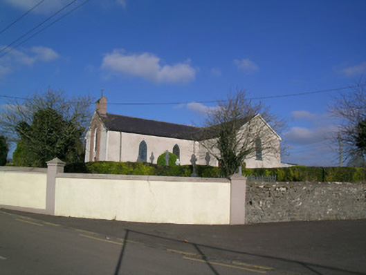 Church of the Immaculate Conceptionchurch/chapel · 813 yd
 Ballyloughy CastleCastle · 1.5 mi
 Caherdrinny Castle (in Ruins)Castle, tower house · 1.5 mi
 FlagCave · 2.5 mi
 St Dominick's WellSpring · 3.2 mi
 Graveyard in BoherashGraveyard · 3.2 mi
 Mitchelstown Town MapVisitor information · 3.3 mi
 John MandevilleMemorial · 3.3 mi
 Kilclooney WoodWood · 4.4 mi