What is recorded here
Marianne and I walked to the fairy fort at Nicholastown, where a shallow earth ridge circles a grassy hollow beneath bare trees. We sat on its warm edge at dusk, watching shadow lengthen across the ring until the hole below seemed deeper than the land around it. Marianne traced the ridge with one finger and said the fort was not a boundary for people but a cup made for remembering. I wanted to argue, yet I could not name what the cup held. We left the ring empty, because some containers only complete themselves when forgotten.
The Archaeological Survey of Ireland (ASI) is in the process of providing information on all monuments on The Historic Environment Viewer (HEV). Currently the information for this record has not been uploaded. To access available information for research purposes please make an appointment in advance with the Archive Unit (open Fridays 10.00 am – 5.00 pm), Department of Housing, Local Government and Heritage, The Custom House, Dublin 1 D01W6XO or email NMarchive@housing.gov.ie.
The monument record does not grant public access. Check the route and ask the landowner before entering private land.
- What survives
- Recorded monument
Places near here
 Gaul Burke's CastleArchaeological place · 1.1 mi
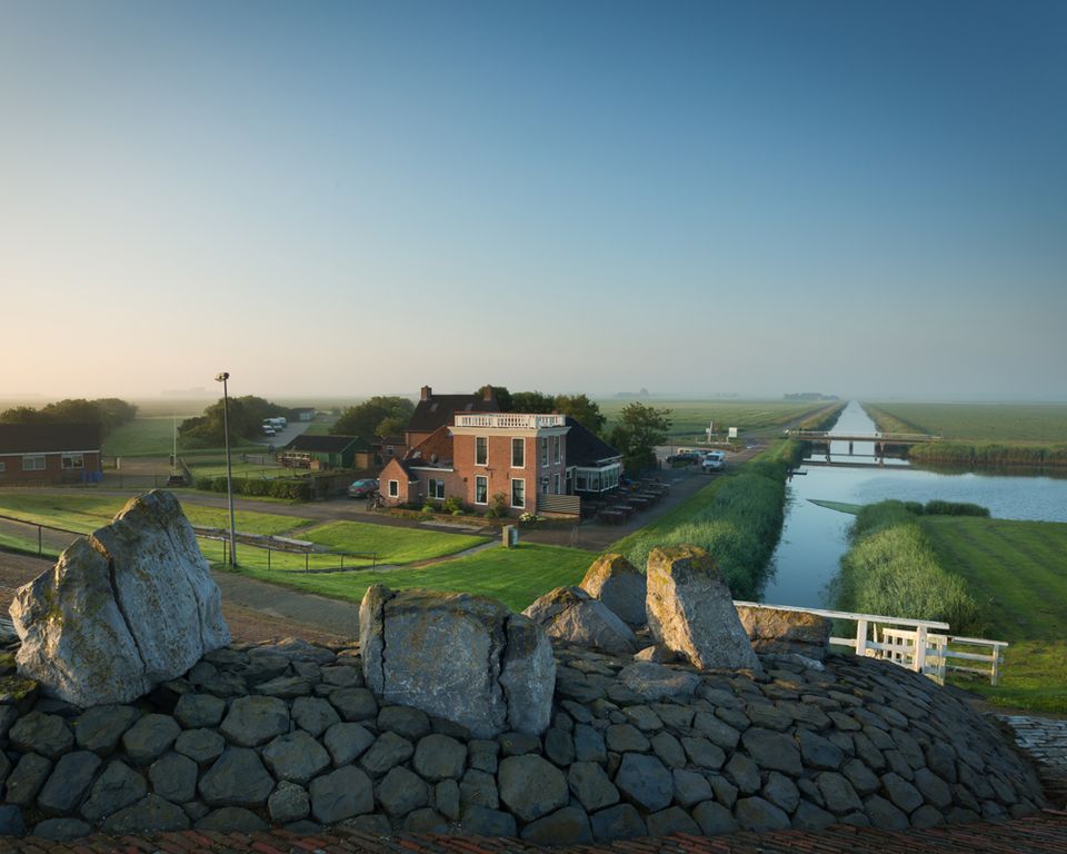 Grogan Ringfort (rath)Archaeological place · 1.1 mi
 Carriganurra Ringfort (rath)Archaeological place · 1.1 mi
 Graul Burkes Castle (Site of)Castle, unclassified · 1.1 mi
 Church in GroganChurch · 1.1 mi
 Church in BishopshallChurch · 1.5 mi
 Native Woodland Trust:Grace Dieu ReserveWood · 4.7 mi
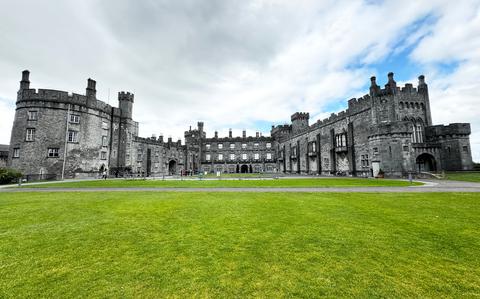 Ballynaboley WoodForest · 5.5 mi
 Mount Congreve GardensHeritage attraction · 7.3 mi
 Waterford & Suir Valley RailwayHeritage attraction · 8.1 mi
 Saltmills Explosion MemorialMemorial · 13 mi
 Grange BeachBeach / strand · 13 mi