What is recorded here
Fairy fort in Newgrove, County Monaghan: an oval earthwork, about 30 metres by 20 metres, marked as a fort on the 1834 Ordnance Survey map. No trace remains visible in the pasture now. The land may have worn it flat, or people may have taken its stones and soil for other uses. What is certain is that the shape was known there in the nineteenth century, and that it has since disappeared from sight.
Located towards the bottom of a W-facing slope. An oval enclosure (dims c. 30m NE-SW; c. 20m NW-SE) described in gothic lettering as a ‘fort’ is depicted on the 1834 edition of the OS 6-inch map. No archaeological feature is visible at ground level in pasture.
The above description is derived from the published 'Archaeological Inventory of County Monaghan' (Dublin: Stationery Office, 1986). In certain instances the entries have been revised and updated in the light of recent research.
Date of revision: 13 December 2017
The monument record does not grant public access. Check the route and ask the landowner before entering private land.
- What survives
- Recorded monument
Places near here
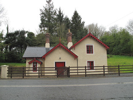 Drumreaskegate lodge · 456 yd
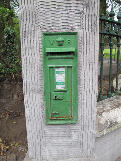 post boxpost box · 646 yd
 Crannog in DrumreaskCrannog · 806 yd
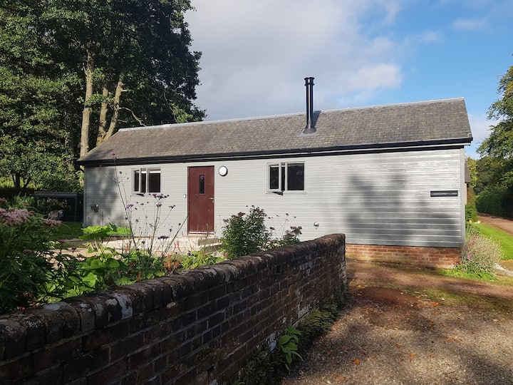 Gamekeeper's WoodForest · 881 yd
 IndicatedFairy fort / earthen ringfort · 913 yd
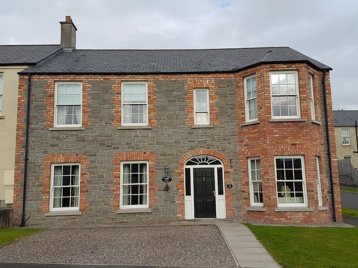 Churchland WoodWood · 916 yd
 Banba GiantHeritage attraction · 1.6 mi
 Rossmore MonumentMemorial · 1.6 mi
 Monaghan County MuseumMuseum · 1.7 mi
 Bawn in Roosky (monaghan By., Monaghan Par.)Bawn · 1.7 mi
 Rough HillMountain / peak · 2.4 mi
 Sliabh Beagh Hotel and Tourism CentreVisitor information · 6.0 mi