What is recorded here
Half a kilometre from the last road, a shallow oval of grass and rushes still holds its shape on the Glenade floor. People called it a fairy fort because the land itself seemed to refuse explanation, but a ringfort is a human answer to fear, hunger and the desire to belong somewhere visible. The absence of a entrance does not erase the purpose; it redirects attention inward, toward the chamber of memory that every enclosed life eventually builds.
Marked only on the 1945 ed. of the OS 6-inch map, and located on a gentle E-facing slope on the floor of the Glenade valley. This is a grass and rush-covered oval platform (dims 35m N-S; 30m E-W) defined by a slight scarp. There is no visible fosse and an original entrance is not identified.
The above description is derived from 'The Archaeological Inventory of County Leitrim' compiled by Michael J. Moore (Dublin: Stationery Office, 2003). In certain instances the entries have been revised and updated in the light of recent research.
Date of upload: 23 September 2008
The monument record does not grant public access. Check the route and ask the landowner before entering private land.
- What survives
- Recorded monument
Places near here
 Noti ndicatedFairy fort / earthen ringfort · 429 yd
 RC ChapelChurch · 570 yd
 Ashisland WoodForest · 940 yd
 Sweat Ho.Sweathouse · 1087 yd
 Longhill WoodForest · 1365 yd
 Kilroosk RockNamed rock · 1.2 mi
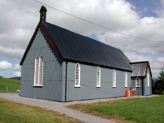 Lurganboy Church (Killasnet)church/chapel · 1.6 mi
 Castle CarCastle · 2.0 mi
 Agow TopMountain / peak · 2.6 mi
 Giants RockNamed rock · 3.0 mi
 Saddle HillMountain / peak · 3.3 mi
 Fowley's FallsPicnic place · 4.2 mi