What is recorded here
Fairy fort / earthen ringfort in Mullaghboy (leitrim By.) stands on a drumlin crest where a forty-five metre rath once circled the slope. Field walls and hedges have cut away most of the ring, leaving only a thirty metre earthen arc that still marks the ghost of the whole. The missing half does not vanish; it transfers into the hedge and stone, continuing the circle in human form.
Located at the crest of the S-facing slope of a short N-S drumlin ridge. A round-topped earthen bank (Wth 4.1m; int. H 0.5m; ext. H 0.3m) surviving N-E (C c. 30m) is the only remaining feature of a possible rath (original diam. c. 45m) which is truncated by a NW-SE field wall and hedge at SW and a NE-SW field wall and hedge at SE. There is no visible fosse.
The above description is derived from 'The Archaeological Inventory of County Leitrim' compiled by Michael J. Moore (Dublin: Stationery Office, 2003). In certain instances the entries have been revised and updated in the light of recent research.
Date of upload: 23 September 2008
The monument record does not grant public access. Check the route and ask the landowner before entering private land.
- What survives
- Recorded monument
Places near here
 IndicatedFairy fort / earthen ringfort · 579 yd
 Enclosure in SheebegEnclosure · 912 yd
 bridgebridge · 1653 yd
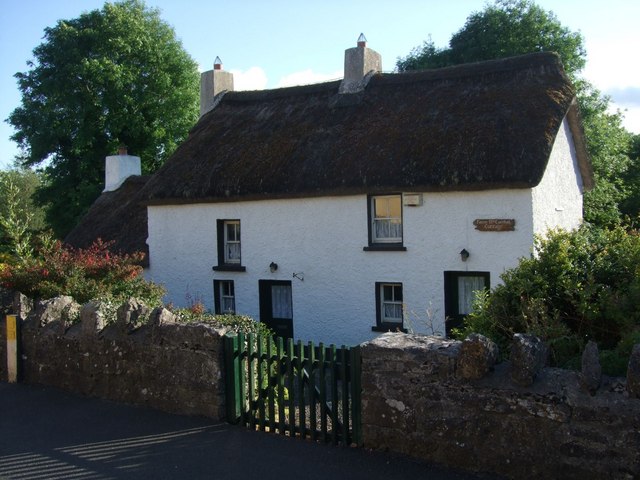 Fionn McCumhail Cottagehouse · 1.3 mi
 Castle JohnCastle · 1.5 mi
 Rusheen IslandIslet · 1.5 mi
 Small IslandIslet · 1.6 mi
 Sheemore Ambush MemorialMonument · 1.7 mi
 Leabaidh DermotCave · 2.0 mi
 CastleforeCastle, tower house · 3.1 mi
 Shannon-Erne WaterwayVisitor information · 3.9 mi
 Battle of Áth an Chipbattle · 4.4 mi