What is recorded here
Mullaghboy holds a grass-covered ringfort on a drumlin crest, its shallow ditch barely visible except at the north and south edges. The entrance has vanished into time, leaving the circle closed and mysterious. A second rath waits one hundred metres south, suggesting the ridge once belonged to several families or one proud clan. The fairies may have taken the entrance when humans stopped asking permission to enter.
Located at the crest of the N-facing slope of a short N-S drumlin ridge. This is a grass-covered circular platform (diam. 23m N-S; 23m E-W; H 0.3m) defined by a slight fosse (Wth 1.95m; D 0.15m), intermittently visible, especially at N and S. The original entrance is not identified. Rath (LE028-012----) is c. 100m to the S.
The above description is derived from 'The Archaeological Inventory of County Leitrim' compiled by Michael J. Moore (Dublin: Stationery Office, 2003). In certain instances the entries have been revised and updated in the light of recent research.
Date of upload: 23 September 2008
The monument record does not grant public access. Check the route and ask the landowner before entering private land.
- What survives
- Recorded monument
Places near here
 IndicatedFairy fort / earthen ringfort · 719 yd
 Enclosure in SheebegEnclosure · 798 yd
 bridgebridge · 1514 yd
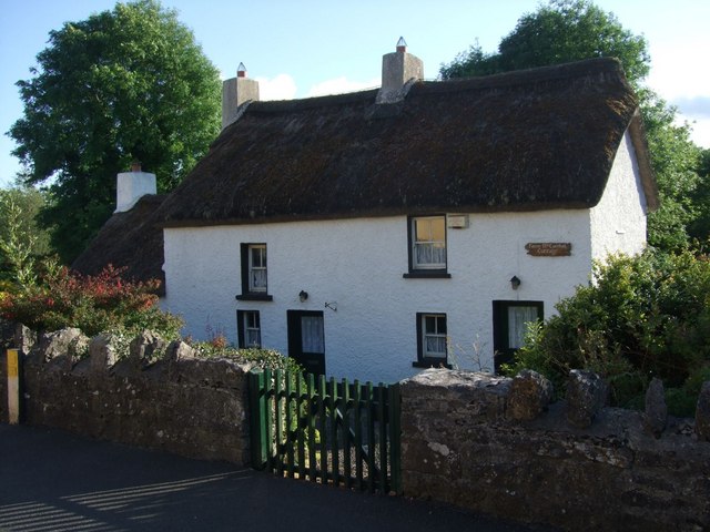 Fionn McCumhail Cottagehouse · 1.3 mi
 Rusheen IslandIslet · 1.5 mi
 Castle JohnCastle · 1.5 mi
 Small IslandIslet · 1.6 mi
 Sheemore Ambush MemorialMonument · 1.8 mi
 Leabaidh DermotCave · 2.1 mi
 CastleforeCastle, tower house · 3.0 mi
 Shannon-Erne WaterwayVisitor information · 3.9 mi
 Battle of Áth an Chipbattle · 4.4 mi