What is recorded here
No visible fort remains at Muldrumman, only a field bank crossing pasture where an 1834 map drew a forty-metre ring and called it a fort in gothic letters. The land sits on a col between higher ground and lower valleys, the kind of place where people set boundaries, buried markers or forgot they had built at all. Whatever disappeared did not leave a hole, only a line still standing across the grass.
Situated on a col with slightly higher ground c. 350m to the NW and a higher hill c. 500m to the SE, and with lower ground to the NE and SW. It is depicted as a circular embanked enclosure (ext. diam. c. 40m) only on the 1834 edition of the OS 6-inch map where it is described in gothic lettering as a ‘fort’, with a NNE-SSW field bank through its centre. No archaeological feature is visible at ground level in pasture, although the field bank is still present.
The above description is derived from the published 'Archaeological Inventory of County Monaghan' (Dublin: Stationery Office, 1986). In certain instances the entries have been revised and updated in the light of recent research.
Revised by: Michael Moore
Date of revision: 22 June 2018
The monument record does not grant public access. Check the route and ask the landowner before entering private land.
- What survives
- Recorded monument
Places near here
 Monaghan WayWalking route · 617 yd
 The CrescentMemorial · 1606 yd
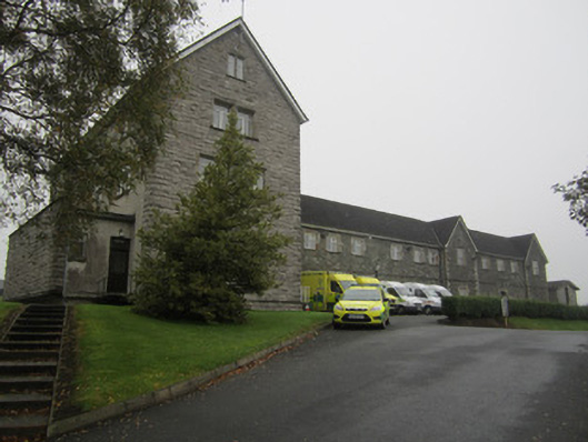 Saint Mary's Hospitalworkhouse · 1.1 mi
 Convent of Mercyconvent/nunnery · 1.1 mi
 Fulacht fia in GrigFulacht fia · 1.1 mi
 Big Tom Memorial StatueMemorial · 1.5 mi
 Bawn in OnomyBawn · 1.6 mi
 Blaney CastleCastle · 1.6 mi
 IndicatedEnclosure · 1.9 mi
 Harper's IslandIslet · 2.3 mi
 Lough MucknoLake and park landscape · 2.4 mi
 Garmany's IslandIslet · 2.4 mi