What is recorded here
Moyglass holds a broken circular rath thirty-seven metres across, its earthen bank still standing one point two metres high despite trees and gaps. A later field wall leans against the outer face, trapping the old shape inside modern pasture. The north-facing slope suggests people once valued the light or shelter there, though time has erased most of their purpose.
On a N-facing slope in pastureland. Poorly preserved circular rath (diam. 37m) defined by a bank and external fosse; only slight shallow traces of the latter are visible. The bank (Wth 1.9m; int. H 0.5m; ext. H 1.2m) is overgrown with trees and is breached by a number of gaps. A field wall has been built against its outer face from NE through S to NW. The interior is level but had been cleared.
Compiled by: Galway Archaeological Survey, UCG
Date of upload: 27 February 2018
The monument record does not grant public access. Check the route and ask the landowner before entering private land.
- What survives
- Recorded monument
Places near here
 IndicatedFairy fort / earthen ringfort · 273 yd
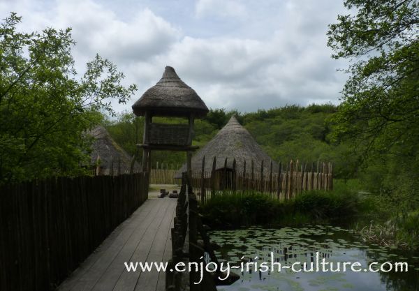 Crannog in Ballinlough (leitrim By.)Crannog · 958 yd
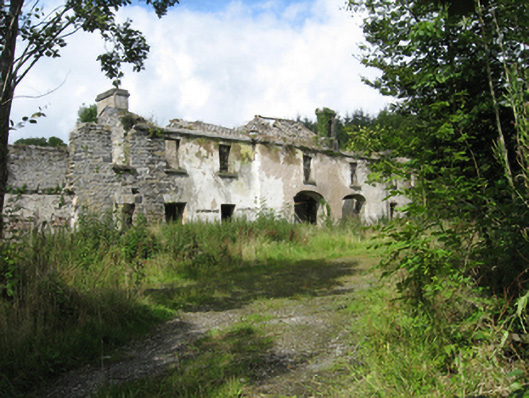 Marble Hilloutbuilding · 1.0 mi
 Country house in MarblehillCountry house · 1.0 mi
 Coolfin Castle (in ruins)Castle, tower house · 4.0 mi
 TullymoreMountain / peak · 4.2 mi
 Site of CastleCastle, unclassified · 4.6 mi
 Maguire SistersMemorial · 5.2 mi
 Oak WoodForest · 5.5 mi
 Bog WoodForest · 5.7 mi
 Red IslandIslet · 6.8 mi
 Gorteeny IslandIslet · 6.8 mi