What is recorded here
Half-buried under pasture and briars above the Killilagh River, the oval fort still holds its shape: a scarped edge, an earthen bank, a hidden ditch, and a probable causeway entrance at the north. It is the kind of place people once called a fairy fort because the boundary between human making and older mystery becomes thin. A house, a refuge, a marker, or a forgotten ritual ground may have stood there before the field swallowed it.
In pasture, on S-facing slope, just above steep incline down to N bank of Killilagh River. Oval area (39.2m N-S; 49.5m E-W) defined by scarped edge (H 0.7m; Wth 5m) NNW->WSW, and enclosed by earthen bank (int. H 0.5m; ext. H 1.5m) WSW->NNW, with external fosse (D 1m; Wth 1.6m) WSW->ESE. There is a counterscarp bank (H 0.55m), incorporated into surrounding field boundary system, WSW->NNW. Fosse is masked by dense overgrowth of bushes and briars and clogged with fallen trees. Probable entrance (Wth 6.3m) at N where scarped edge becomes barely perceptible and there is causeway across fosse. A pump house and an electricity pole stand atop scarp at NNE. Interior, under pasture, and slopes down to S.
Compiled by: Denis Power
Date of upload: 26 August 2011
The monument record does not grant public access. Check the route and ask the landowner before entering private land.
- What survives
- Recorded monument
Places near here
 Glenduff CastleCastle, tower house · 547 yd
 IndicatedFairy fort / earthen ringfort · 954 yd
 Lisnafulla Bridgebridge · 1.6 mi
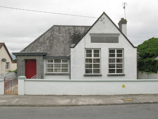 Broadford Carnegie Librarylibrary/archive · 1.7 mi
 Mound in Rowls NorthMound · 2.3 mi
 Mullaghareirk - Banane LoopWalking route · 2.5 mi
 Castle (in ruins), Springfield CastleCastle, tower house · 2.7 mi
 Ballagh MountainMountain / peak · 3.1 mi
 Saint Ite's WellSpring · 3.6 mi
 ToberhoranSpring · 4.6 mi
 Rock HillMountain / peak · 4.6 mi
 National Co-op MuseumMuseum · 4.7 mi