What is recorded here
Located on an E-facing slope of the N-S River Slaney valley. The cropmark of circular area defined by two fosse features (int. diam. c. 38m, ext. diam. c. 55m) with an entrance through both fosse features at the S is visible on aerial photographs (MM (55) 14-19). It is visible on Google Earth (14/07/2018).
See the attached enhanced view from Google Earth (2018)
Compiled by: Michael Moore
Date of upload: 2 May, 2012
Amended: 23 July 2021
The monument record does not grant public access. Check the route and ask the landowner before entering private land.
- What survives
- Recorded monument
Places near here
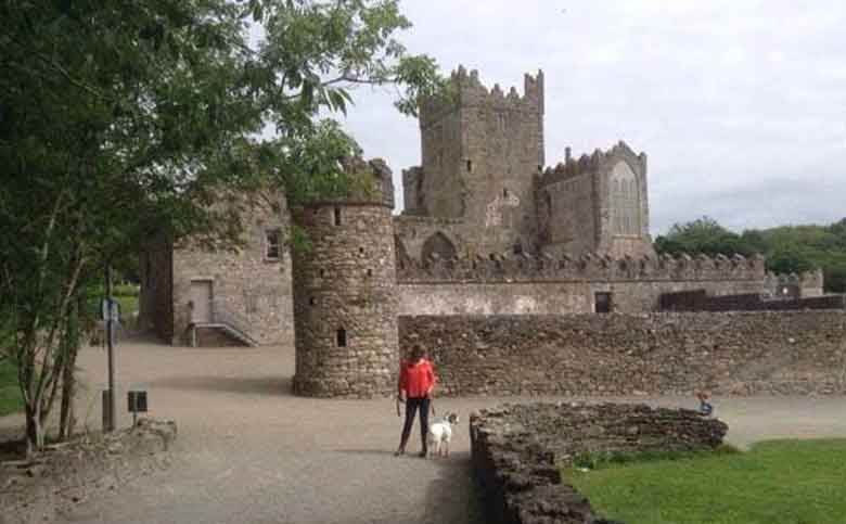 Mountfin Ho.House, 17th century · 956 yd
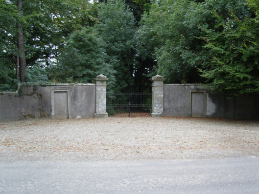 Clobemon Hallgates/railings/walls · 1147 yd
 Embanked enclosureFairy fort / earthen ringfort · 1324 yd
 Tombrick WoodForest · 1562 yd
 Enclosure in BallycarneyEnclosure · 1.4 mi
 European LarchEuropean Larch · 1.7 mi
 CastleCastle, unclassified · 3.0 mi
 Clohamon Castle (in ruins)Castle, unclassified · 3.2 mi
 Bunclody 1798 Bicentenary MemorialMemorial · 5.0 mi
 1798 rebellion Battle of Newtownbarry (AKA Bunclody) commemorative plaqueMemorial · 5.0 mi
 Gibbet HillMountain / peak · 5.7 mi
 SlieveboyMountain / peak · 6.0 mi