What is recorded here
Mirehill holds a subcircular earthen ringfort thirty-six metres wide, its bank still visible in the grassland despite age and weather. It stands twenty-two metres from another enclosure, suggesting a small cluster of human activity rather than a lonely marker. The fair condition of the bank implies repeated use or at least resistance to erosion, while the proximity of the second site hints at shared purpose. Whether for residence, defence or ritual remains unclear, but the shape and setting confirm a deliberate intervention in the landscape.
In grassland. Subcircular rath (E-W 36m, N-S 33m), in fair condition, defined by a bank. An enclosure (GA042-199----) lies c. 220m to NE.
The above description is derived from the published 'Archaeological Inventory of County Galway Vol. II - North Galway'. Compiled by Olive Alcock, Kathy de hÓra and Paul Gosling (Dublin: Stationery Office, 1999).
Date of upload: 05 August 2010
The monument record does not grant public access. Check the route and ask the landowner before entering private land.
- What survives
- Recorded monument
Places near here
 Enclosure in MirehillEnclosure · 246 yd
 Enclosure in Cloonee (clare By.)Enclosure · 320 yd
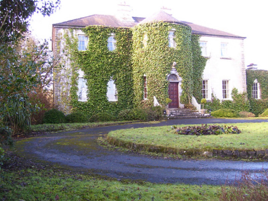 Lisdonagh Househouse · 1082 yd
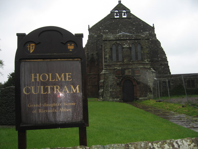 AbbeytownHouse, 18th/19th century · 1500 yd
 Shrule Castle in ruinsCastle, hall-house · 1.8 mi
 Shrule CastleCastle · 1.8 mi
 Pesooge PlantationForest · 2.7 mi
 Ross Errilly FriaryHeritage attraction · 2.8 mi
 Cregg PlantationForest · 2.8 mi
 Kilcoona Round TowerHeritage attraction · 3.9 mi
 Walsh's IslandIslet · 5.5 mi
 Otter IslandIslet · 6.6 mi