What is recorded here
Fairy fort in Mellon, County Limerick: a 30 m earthen ring on a low limestone ridge, its scarped edge still standing nearly two metres high beside the road. Briars choke the interior except at the south and west, as if the place wants to be approached, not invaded. People may have lived there before becoming legend; the stones and soil remember that much even when the names have gone.
In pasture, at N end of low ridge, in area of outcropping limestone, immediately to E of roadway. Circular area (diam. 30m) defined by scarped edge (H 1.9m; Wth 3.45m), best preserved at E where it is obscured by briars. Scarp incorporates bedrock at SE. Interior, heavily masked by dense overgrowth of briars, is accessible only at S and W verges.
Compiled by: Denis Power
Date of upload: 26 August 2011
The monument record does not grant public access. Check the route and ask the landowner before entering private land.
- What survives
- Recorded monument
Places near here
 Grave YardGraveyard · 135 yd
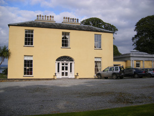 Mellon Housecountry house · 531 yd
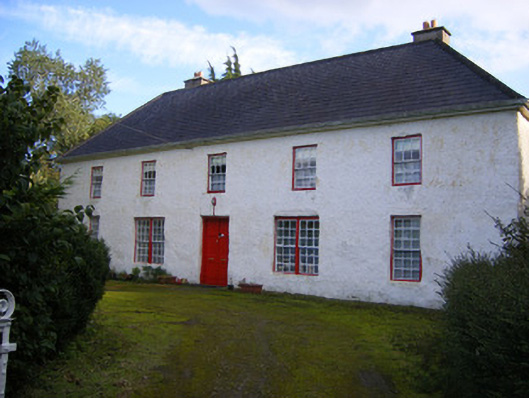 Mount Pleasantfarm house · 912 yd
 Rinekirk PointHeadland · 1178 yd
 Maiden RockNamed rock · 1693 yd
 Grass IslandIslet · 1.0 mi
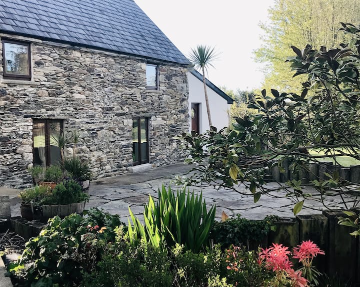 Enclosure in BallynacarrigaEnclosure · 1.0 mi
 Castle (in ruins)Castle, tower house · 1.5 mi
 Shanpallas CastleCastle · 1.5 mi
 Sweet ChestnutSweet Chestnut · 1.7 mi
 Ringmoylan PierVisitor information · 2.5 mi
 Bunratty Castlehouse · 2.5 mi