What is recorded here
Maulatrahane holds a broken ring where a field boundary cut through ancient earth. The remaining bank stands one point four metres high, marking a circular home or fortress that people forgot before roads and fences changed the land. Its northern wall has vanished, but the southern curve still resists forgetting.
In pasture, on break in W-facing slope. Circular area (21.4m N-S; 25.5m E-W) enclosed by scarp ENE->SE; earthen bank (H 1.4m) SE->W, stone faced in parts. Field boundary running E-W truncates site to N; no visible trace of N portion of enclosure.
The above description is derived from the published 'Archaeological Inventory of County Cork. Volume 1: West Cork' (Dublin: Stationery Office, 1992). In certain instances the entries have been revised and updated in the light of recent research.
Date of upload/revision: 14 January 2009
This remains an important historical record, but the official description says the monument is no longer visible or has been destroyed. The monument record does not grant public access. Check the route and ask the landowner before entering private land.
- What survives
- No visible remains or recorded as destroyed
Places near here
 Country house in AdrigoolCountry house · 750 yd
 Man-made underground passage in MaulnagirraMan-made underground passage · 1.1 mi
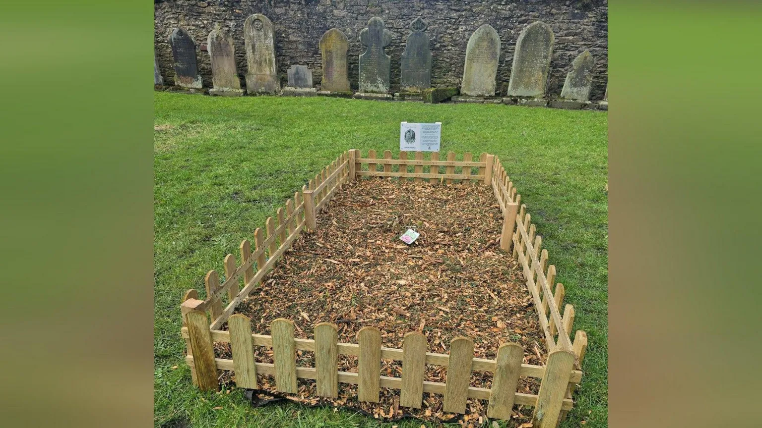 Childrens Burial Gd (Disused)Burial ground · 1.1 mi
 MillMill, fulling · 1.4 mi
 Bláth na GréineWood · 1.9 mi
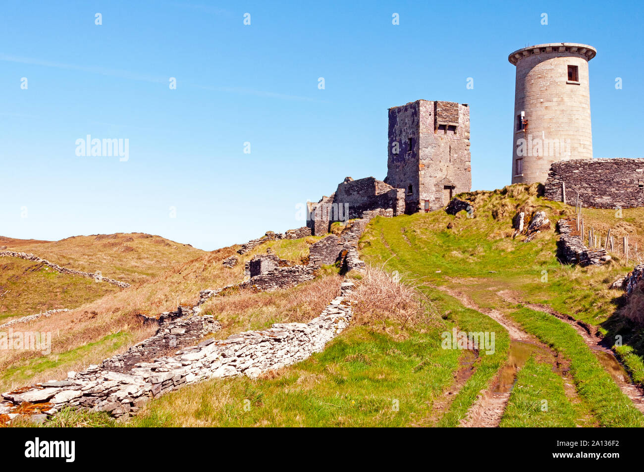 LookoutMountain / peak · 2.5 mi
 Lettertinlish Castle (Ruins)Castle · 2.6 mi
 Coolngrane Fairy FortFort · 2.8 mi
 Tober an IarainnSpring · 3.2 mi
 Carraig ThrounceMountain / peak · 3.7 mi
 Bishop MahonyMemorial · 3.7 mi
 Heritage CentreMuseum · 4.0 mi