What is recorded here
Fairy fort in Lotteragh Upper is a circular earthen ring about twenty-five metres across, marked by a low bank and a scarped edge that cattle have worn through to the east. The interior remains level but hidden beneath dense overgrowth, while a field drain cuts along the base of the scarp. It is the kind of place where human hands shaped the land long before memory, then stepped back and let grass, rain and forgetting take it over.
In level pasture. Circular area (diam. c. 25m) enclosed by earthen bank (int. H 0.35m; ext. H 0.5m) N->E and defined by scarped edge (H 0.5m; Wth 1.75m) E->N. Cattle have worn gap (Wth 2.3m) across scarp to E. Field drain runs along base of scarp ESE->WSW. Interior level and covered by dense overgrowth.
Compiled by: Denis Power
Date of upload: 26 August 2011
The monument record does not grant public access. Check the route and ask the landowner before entering private land.
- What survives
- Recorded monument
Places near here
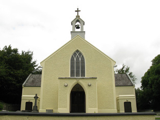 Saint Munchin's Catholic Churchchurch/chapel · 1010 yd
 Eagle Mount MoteCastle, motte · 1039 yd
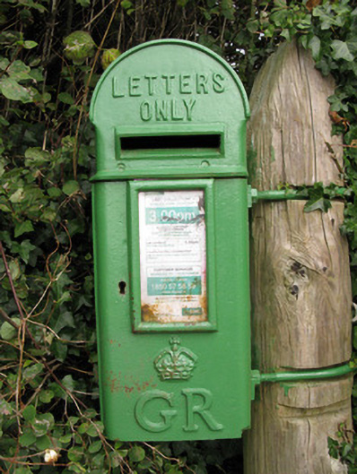 post boxpost box · 1184 yd
 Bruree Castle Lower (in ruins)Castle, Anglo-Norman masonry castle · 1405 yd
 OutlinedGraveyard · 1713 yd
 BarrowBarrow, ring-barrow · 1713 yd
 Saint Derivla's WellSpring · 4.6 mi
 King John's CastleCastle · 4.8 mi
 Holy Cross CemeteryGraveyard · 4.9 mi
 Lady's WellSpring · 4.9 mi
 KnockfeerinaMountain / peak · 6.3 mi
 Famine stoneMemorial · 6.8 mi