What is recorded here
Fairy fort in Lotteragh Upper, County Limerick, is a circular earthen ringfort about twenty-five metres across, with a scarped edge and outer fosse, partly buried where soil was dumped at the south and west. Cattle wore a gap through the western bank to reach the overgrown interior, as if the fort had stopped being a boundary and become a feeding place. The fairies may have left it behind, or never lived there at all, but the shape still holds like a room waiting for someone to remember its name.
In pasture, on slight S-facing slope. Circular area (diam. c. 25m) defined by scarped edge (H 1.7m; Wth 1.2m) with external fosse (D 1.25m; Wth 2m). Soil has been dumped into fosse at S and W. Gap (Wth 1.65m) worn through scarp at W by cattle accessing interior. Interior level and covered by dense overgrowth.
Compiled by: Denis Power
Date of upload: 26 August 2011
A fairy fort / earthen ringfort in Lotteragh Upper is a circular early-medieval defensive or domestic site, likely dating to between the 5th and 10th centuries AD. Local tradition associates such sites with fairy folk, and they were often avoided due to beliefs in their supernatural inhabitants.
The monument record does not grant public access. Check the route and ask the landowner before entering private land.
- What survives
- Recorded monument
Places near here
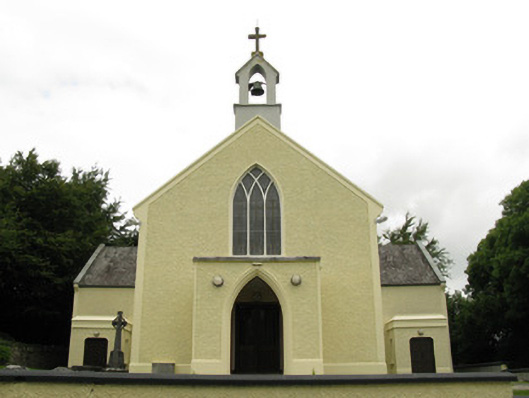 Saint Munchin's Catholic Churchchurch/chapel · 955 yd
 Eagle Mount MoteCastle, motte · 1054 yd
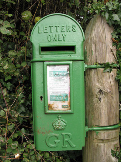 post boxpost box · 1126 yd
 Bruree Castle Lower (in ruins)Castle, Anglo-Norman masonry castle · 1479 yd
 OutlinedGraveyard · 1750 yd
 BarrowBarrow, ring-barrow · 1.0 mi
 Saint Derivla's WellSpring · 4.5 mi
 King John's CastleCastle · 4.8 mi
 Holy Cross CemeteryGraveyard · 4.8 mi
 Lady's WellSpring · 4.9 mi
 KnockfeerinaMountain / peak · 6.3 mi
 Famine stoneMemorial · 6.9 mi