What is recorded here
Half a fort remains in Ballynahaglish because the southern curve was cut away, yet the missing half still seems to complete itself in the mind. Cattle cluster in its puddled fosse when heat rises, as if remembering that the ring can hold more than stone. The nearby forts in Harty's land keep their underground passages hidden behind blocked entrances, waiting for someone patient enough to listen through the soil.
The precise location of two possible ringforts in the parish of Ballynahaglish, possibly the townland of Lissodeige or Tawlaght recorded in the Minute Book of County Kerry Field Club 02/09/1939 (Vol. 1, 36) has not been identified. The Kerry Field Club recorded that they; 'proceeded to Ballynahaglish where is a very fine fort or rath, half a fort for the Southern is cut away. the residents there reported that there is a Man-made underground passage in this fort but after searching for a while the party found they could not locate the entrance owing to undergrowth and to the fact that the fosse was full of puddles caused by cattle seeking shelter there from the heat. the party next entered the field across the road where in Harty's land are two fine forts well preserved there show Man-made underground passage but the entrances have been blocked up with stones'.
Compiled by: Caimin O'Brien
Date of upload: 14 June 2022
The monument record does not grant public access. Check the route and ask the landowner before entering private land.
- What survives
- Recorded monument
Places near here
 CastleCastle, unclassified · 597 yd
 Church in Glebe (trughanacmy By., Ballynahaglish Ed)Church · 643 yd
 Ballynahaglish Churchchurch/chapel · 643 yd
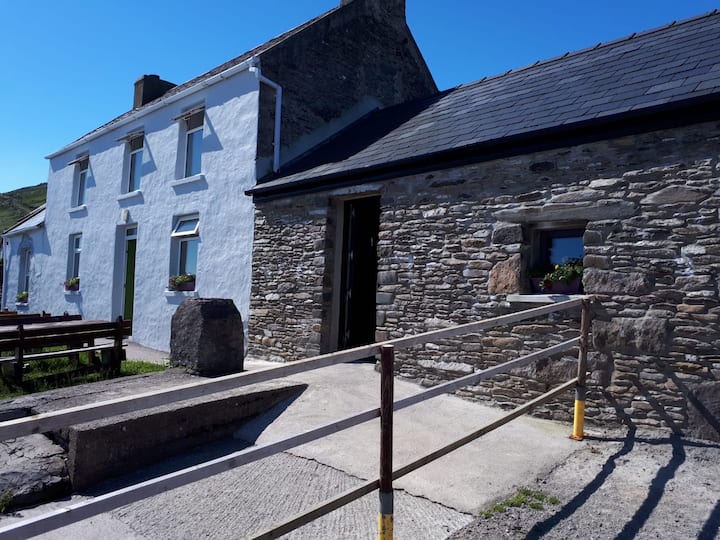 Enclosure in KnocknanarneyEnclosure · 715 yd
 Enclosure in BarrowEnclosure · 1446 yd
 CloghnacroustaNamed rock · 1.4 mi
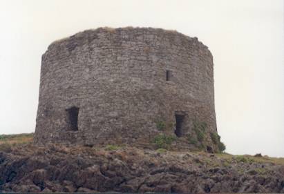 Barrow Round Castle (in ruins)Castle, tower house · 1.8 mi
 Fenit BeachBeach / strand · 1.9 mi
 Samphire IslandIslet · 1.9 mi
 Saint BrendanMemorial · 2.0 mi
 Tralee BayBay · 2.5 mi
 Samphire Island LittleIslet · 2.5 mi