What is recorded here
Lissaniska holds a russet ringfort thirty-three metres wide, its earthen bank still rising nearly two metres above the ground. The eastern gap likely marked the true entrance, while a shallow ditch curves along the north edge like a forgotten boundary. People may have lived inside the raised floor, watched the sky from the ridge, or simply avoided the place because local stories call it a fairy fort.
Internal diameter 32.4m N-S, 33m E-W
Lisroe/Lios Rua (russet ringfort). This circular univallate rath is enclosed by an earthen bank that varies in width at the base 4m-c 7m. The height of the bank rises to a maximum of 1.8m externally and to 1m above the interior. An exterior fosse can be noted to the NW through N to E, it is c 1.6m wide and .8m below the surrounding land. Of the three breaks in the bank to the W, NW and E, measuring 1.6m, .8m, and 3.4m respectively, the opening to the E probably represents the original entrance. The interior is at a higher level than the surrounding land, and contained in the N sector is a 1m wide ridge that runs NE-SW.
The above description is derived from C. Toal, ‘North Kerry Archaeological Survey’. Dingle. Brandon in association with FAS Training and Employment Authority (1995), no. 433. In certain instances the entries have been revised and updated in the light of recent research.
Date of upload: 2 August 2013
The monument record does not grant public access. Check the route and ask the landowner before entering private land.
- What survives
- Recorded monument
Places near here
 LisnabroArchaeological place · 407 yd
 LissanfarranArchaeological place · 772 yd
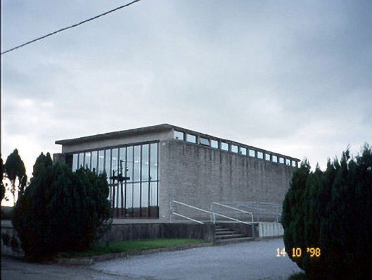 Corpus Christi Catholic Churchchurch/chapel · 1.0 mi
 Duagh Church (in ruins)Church · 1.9 mi
 CastleCastle, tower house · 2.7 mi
 John B. KeaneMemorial · 3.9 mi
 Statue of SchillerMemorial · 3.9 mi
 Purt CastleCastle · 4.2 mi
 Kerry Writers' MuseumMuseum · 4.4 mi
 Lartigue MonorailMuseum · 4.6 mi
 Lawson's CypressLawson's Cypress · 4.8 mi
 Siege of Carrigafoyle Castlesiege · 9.6 mi