What is recorded here
Forty years of ploughing and boundary stones erased most of the ring, but the north bank still stands tall enough to block the horizon. The fort measured thirty-eight metres across when last described, large enough for a household and large enough to forget. It appears on old maps as a fort and on later maps as a site of one, as if certainty itself had been ploughed out. The entrance has no marker now. A person could stand inside the circle and know only that the ground rose, the ditch cut across, and the place had once belonged to someone who expected to return.
Marked 'Fort' on the OS 1836 ed. and 'Site of on the 1876 ed. Partially levelled. Raised circular area (int. diam. c. 38m) enclosed by an earthen bank and a wide fosse, both well preserved from NW-N-NE and elsewhere either levelled or replaced by field boundaries. Original entrance not recognisable.
The above description is derived from the published 'Archaeological Inventory of County Cavan' (Dublin: Stationery Office, 1995). In certain instances the entries have been revised and updated in the light of recent research.
Date of upload/revision: 22 December 2008
The monument record does not grant public access. Check the route and ask the landowner before entering private land.
- What survives
- Recorded monument
Places near here
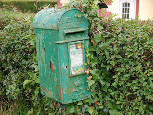 post boxpost box · 708 yd
 Welcome to Bailieborough DemesneVisitor information · 794 yd
 CorglassMountain / peak · 1104 yd
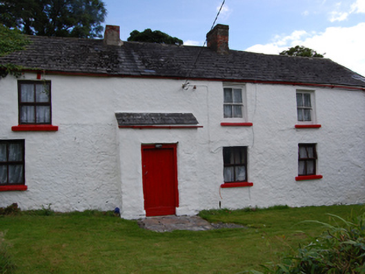 farm housefarm house · 1342 yd
 Derrynure Bog WoodlandWood · 1436 yd
 Rebel HillMemorial · 1478 yd
 Drumbannan FortArchaeological place · 1.0 mi
 DerrynureMountain / peak · 1.1 mi
 Castle Lake ForestForest · 1.2 mi
 Lisgrania FortArchaeological place · 1.2 mi
 In Memory of Patrick KiernanMemorial · 1.4 mi
 Brothers GravesVisitor information · 1.4 mi