What is recorded here
On a N-facing slope, just off crest of hill, in undulating pastureland. Ringfort not marked on 1st (1840) ed. OS 6-inch map but indicated as roughly circular area on the 1907 ed. The N half of the ringfort has been levelled. The remaining S half (diam. 27m E-W) is defined by an earthen bank (Wth 1.8m crest, 3.9m base; int. H 0.73m; ext. H 1m) and flat-bottomed outer fosse (Wth 2m; D 0.7m). The interior is heavily overgrown with brambles with scrub on top of surviving bank.
Compiled by: Jean Farrelly
Date of upload: 18 November 2013
The monument record does not grant public access. Check the route and ask the landowner before entering private land.
- What survives
- Recorded monument
Places near here
 Enclosure in LisfunshionEnclosure · 447 yd
 The Mile BushRitual site, holy tree/bush · 1091 yd
 Shanbally CastleCastle · 1.3 mi
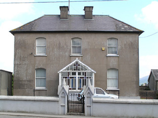 presbytery/parochial/curate's housepresbytery/parochial/curate's house · 1.4 mi
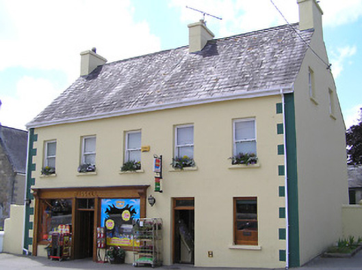 Russellhouse · 1.4 mi
 Ronald Reagan CentreHeritage attraction · 1.4 mi
 Site of CastleCastle, unclassified · 1.5 mi
 Sweet ChestnutSweet Chestnut · 1.5 mi
 Sheep HillMountain / peak · 2.0 mi
 KnockanardMountain / peak · 2.2 mi
 Mitchelstown CaveCave · 2.3 mi
 Rehill WoodForest · 2.7 mi