What is recorded here
Water and forgetting have replaced the fort. The ring stood on a rise above flat land, marked as a fort on the 1837 map, then a reservoir took its stones, soil and shape. What people kept inside, or shut out, has gone with it.
On a rise on otherwise level ground. Depicted as a circular enclosure with the designation 'Fort' on the 1837 ed. of the OS 6-inch map. The monument has been destroyed due to the construction of a reservoir.
Compiled by: Patrick F. O'Donovan
Date of upload: 16 January 2012
This remains an important historical record, but the official description says the monument is no longer visible or has been destroyed. The monument record does not grant public access. Check the route and ask the landowner before entering private land.
- What survives
- No visible remains or recorded as destroyed
Places near here
 Enclosure in CloonahardEnclosure · 582 yd
 KilnKiln, lime · 815 yd
 Man-made underground passage in CloonahardMan-made underground passage · 900 yd
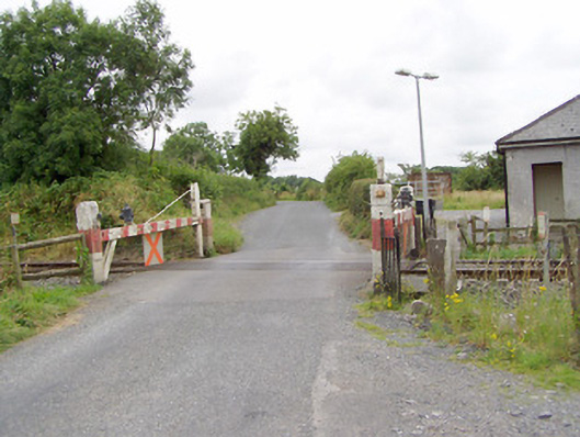 level crossinglevel crossing · 1185 yd
 Bawn in LissardowlanBawn · 1465 yd
 CastleCastle, Anglo-Norman masonry castle · 1509 yd
 Oldtown DemesneForest · 1.1 mi
 Oldtown CopseWood · 1.2 mi
 Saint Mel's CathedralCathedral · 4.1 mi
 First World War MemorialMemorial · 4.2 mi
 National Famine WayWalking route · 4.5 mi
 Bully's Acregraveyard/cemetery, unknown · 4.9 mi