What is recorded here
Fairy fort is a double-banked earthen ring on a Monaghan spur, its causeway and hidden oval passage still visible beneath grass and scrub. People may have lived, hidden or worshipped there before the name changed, but the shape remains clear enough to walk around and imagine.
Located towards the SE tip though not the top of a NW-SE spur. This is a circular grass and scrub-covered area (diam. 38.4m WNW-ESE; 36.6m NNE-SSW) defined by two earth and stone banks with some bushes separated by a rounded fosse. The entrance through the inner (Wth of base 1.1m) and outer (Wth of base 2m) banks and a causeway (Wth of top 3.2m; H 0.9m) are at SE. An oval sunken area (dims c. 10m E-W) runs through the inner bank at WNW and may be the remains of a Man-made underground passage. The monument has become overgrown since 1967 (Bing 2013).
The above description is derived from the published 'Archaeological Inventory of County Monaghan' (Dublin: Stationery Office, 1986). In certain instances the entries have been revised and updated in the light of recent research.
Date of revision: 6 December 2017
The monument record does not grant public access. Check the route and ask the landowner before entering private land.
- What survives
- Recorded monument
Places near here
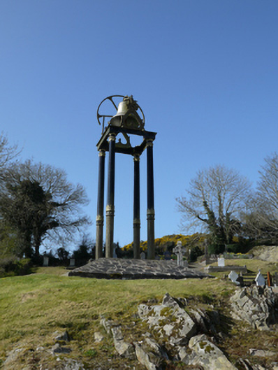 Saint Mary's Catholic Churchbell tower/stand · 369 yd
 Fairy fort / earthen ringfort in AghacloghanFairy fort / earthen ringfort · 1101 yd
 TobernagalliaghSpring · 1.1 mi
 Man-made underground passage in Bocks UpperMan-made underground passage · 1.1 mi
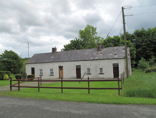 worker's houseworker's house · 1.7 mi
 Mannan Castle (in ruins)Castle, Anglo-Norman masonry castle · 2.4 mi
 Gully IslandIslet · 2.8 mi
 Rock IslandIslet · 3.0 mi
 Fincarn HillMountain / peak · 3.2 mi
 Horse-chestnutHorse-chestnut · 3.3 mi
 Tally WoodWood · 3.4 mi
 KnockreaghMountain / peak · 4.0 mi