What is recorded here
Fairy forts hide in plain sight, wearing ordinary shapes until someone stops to look. This is one of them: a rounded fort on a drumlin in Lisdoonan, with an earthen bank, outer ditch and causeway entrance. People may have lived here, marked this land or told stories beside it. The stones do not answer, but they still give up a little when watched closely.
Located on top of a drumlin. This rath is depicted on McCrea’s map of County Monaghan (1793). It is an oval grass-covered area (dims 62m NE-SW; 52m NW-SE) defined by an earthen bank (at S: Wth 5.2m; int. H 1m; ext. H 2.6m) E-SW, which is incorporated into an overgrown earthen field bank (at N: Wth 4.6m; int. H 0.8m; ext. H 1.7m) with an outer stone-facing elsewhere and forms the townland boundary with with Drumberagh SW-N. There is an outer fosse (Wth of top 5m; ext. D 0.8m) SE-WNW, with a slight outer bank (Wth 3m; int. H 0.55m; ext. H 1.1m) SW-W. The entrance (Wth of base 3.2m) and causeway (Wth of top 3.3m; H 0.7m) are at SSE.
The above description is derived from the published 'Archaeological Inventory of County Monaghan' (Dublin: Stationery Office, 1986). In certain instances the entries have been revised and updated in the light of recent research.
Date of revision: 6 December 2017
The monument record does not grant public access. Check the route and ask the landowner before entering private land.
- What survives
- Recorded monument
Places near here
 Fairy fort / earthen ringfort in AghacloghanFairy fort / earthen ringfort · 542 yd
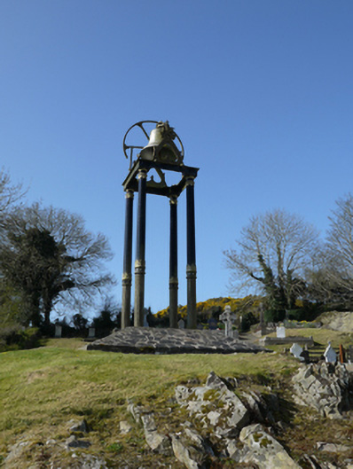 Saint Mary's Catholic Churchbell tower/stand · 695 yd
 Man-made underground passage in Bocks UpperMan-made underground passage · 1170 yd
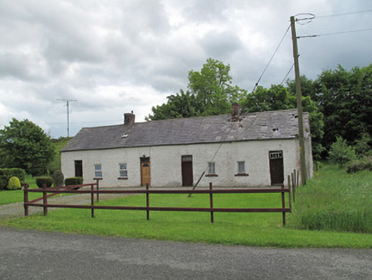 worker's houseworker's house · 1.4 mi
 TobernagalliaghSpring · 1.5 mi
 Gully IslandIslet · 2.5 mi
 Rock IslandIslet · 2.7 mi
 Mannan Castle (in ruins)Castle, Anglo-Norman masonry castle · 2.9 mi
 Tally WoodWood · 3.0 mi
 Fincarn HillMountain / peak · 3.1 mi
 Horse-chestnutHorse-chestnut · 3.5 mi
 KnockreaghMountain / peak · 4.3 mi