What is recorded here
Lisdoagh in County Cavan holds a raised circular fort thirty metres across, guarded by two earthen banks and a deep, waterlogged ditch. Its south-east entrance still shows a causeway, while a hidden underground passage may remain beneath the central grass. People called it a fairy fort, perhaps because the water and shadows made it feel occupied by something unseen.
Raised circular area (int. diam. 29.9m) enclosed by two earthen banks with wide, deep, partly waterlogged intermediate fosse. Outer bank survives from SSE-W-NW. Break in inner bank with remains of accompanying causeway at SE represents original entrance. Within the internal area are the remains of a possible Man-made underground passage (CV023-032002-)
The above description is derived from the published 'Archaeological Inventory of County Cavan' (Dublin: Stationery Office, 1995). In certain instances the entries have been revised and updated in the light of recent research.
Date of upload/revision: 22 December 2008
The monument record does not grant public access. Check the route and ask the landowner before entering private land.
- What survives
- Recorded monument
Places near here
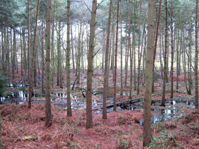 Lisdoagh Wet WoodlandWood · 334 yd
 Drumlumman Wet WoodlandWood · 689 yd
 St Patrick's Roman Catholic Churchchurch/chapel · 1035 yd
 Lisnagoon Bridgebridge · 1651 yd
 Ann's FortArchaeological place · 1.1 mi
 Fairy fort / earthen ringfort in Cashel (clankee By.)Fairy fort / earthen ringfort · 1.2 mi
 Small IslandIsland · 1.8 mi
 DrumbinnisMountain / peak · 1.8 mi
 Graveyard in Drumgoon (clankee By.)Graveyard · 1.8 mi
 Giant's GraveArchaeological place · 2.3 mi
 AghagashlanMountain / peak · 2.4 mi
 Kilmacaran IslandIslet · 4.1 mi