What is recorded here
Liscullane, named for the church of the dog, held a circular earthen fort that resisted complete erasure. Farmers levelled the ridge for fields, yet the ground remembered its shape. Aerial cameras captured the hidden line years later, proving that soil keeps secrets even when human hands try to erase them. The fort did not disappear; it waited patiently for eyes sharp enough to see the ghost beneath the grass.
Liscullane/Lios Coileáin. This circular enclosure appears on the 1841-42 and 1916 OS maps. Though levelled it shows up quite clearly on the Air Corps aerial photographs (1968) as a soil mark.
The above description is derived from C. Toal, ‘North Kerry Archaeological Survey’. Dingle. Brandon in association with FAS Training and Employment Authority (1995), no. 583. In certain instances the entries have been revised and updated in the light of recent research.
Date of upload: 2 August 2013
A fairy fort or earthen ringfort in Liscullane, likely dating to the early medieval period, is associated with the name Lios Coileáin, suggesting a possible connection to the Irish legend of the Lia Fáil or a sacred enclosure linked to local folklore. Though now levelled, it remains visible as a soil mark in aerial photographs and was recorded on early Ordnance Survey maps.
The monument record does not grant public access. Check the route and ask the landowner before entering private land.
- What survives
- Recorded monument
Places near here
 Enclosure in Liscullane (clanmaurice By., Kilcaragh Par.)Enclosure · 592 yd
 IndicatedHoly well · 1260 yd
 CastleCastle, Anglo-Norman masonry castle · 1577 yd
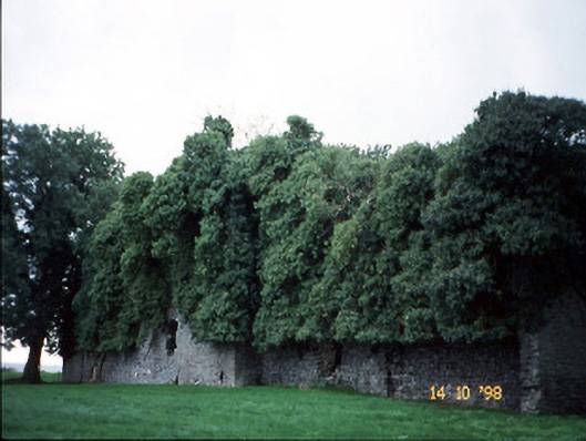 Old Courtcountry house · 1692 yd
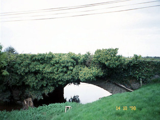 Lixnaw Bridgebridge · 1726 yd
 Kilflynn Nature ReserveNature reserve · 2.8 mi
 Ballymacaquinn Castle (remains of)Castle · 3.8 mi
 Stack's MountainMountain / peak · 5.3 mi
 CruslineMountain / peak · 5.4 mi
 Tobar na MoltSpring · 6.2 mi
 Pierce's IslandIslet · 7.0 mi
 Clashmealcon CavesCave · 7.1 mi