What is recorded here
Fairy forts are not for us. They belong to the hidden people who still walk Kerry at night. We may map them, photograph them or even flatten them with ploughs and rails. They do not care. The fairies remember every stone we remove and every field we take. One day they will return what they remember. That is why old Irish fields still feel angry.
This circular enclosure appears on the 1841-42 OS map but by the 1916 edition it is not as clearly marked. The Limerick and Tralee railway track runs immediately to the SE of this site. Though the site has been levelled, it showed up quite clearly on an aerial photograph taken in 1987.
The above description is derived from C. Toal, ‘North Kerry Archaeological Survey’. Dingle. Brandon in association with FAS Training and Employment Authority (1995), no. 580. In certain instances the entries have been revised and updated in the light of recent research.
Date of upload: 2 August 2013
The monument record does not grant public access. Check the route and ask the landowner before entering private land.
- What survives
- Recorded monument
Places near here
 Enclosure in AghacooraEnclosure · 553 yd
 Fulacht fia in AghacooraFulacht fia · 725 yd
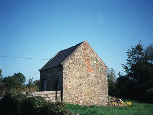 Crotta Housegate lodge · 1.3 mi
 CastleCastle, Anglo-Norman masonry castle · 1.4 mi
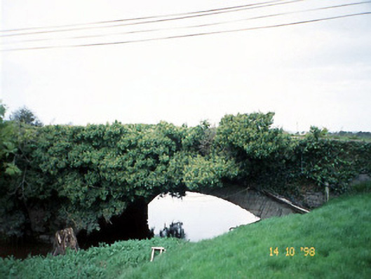 Lixnaw Bridgebridge · 1.4 mi
 Kilflynn Nature ReserveNature reserve · 2.5 mi
 Ballymacaquinn Castle (remains of)Castle · 3.3 mi
 CruslineMountain / peak · 5.1 mi
 Stack's MountainMountain / peak · 5.1 mi
 Tobar na MoltSpring · 5.6 mi
 Ardfert Franciscan FriaryVisitor information · 6.6 mi
 Ardfert FriaryVisitor information · 6.6 mi