What is recorded here
Marianne and her children climbed the rampart at Liscahane while the red moon hung low. The soil felt warm under their hands, as if many bodies had pressed it flat across centuries. They skipped stones across the dark water below and heard laughter returning from the hill. When Marianne touched the highest point, the ring vanished into mist, leaving only a shallow depression and the smell of rain. Her children swore they saw lights moving inside the earth. Marianne smiled, certain the fort had swallowed itself to avoid being measured.
The Archaeological Survey of Ireland (ASI) is in the process of providing information on all monuments on The Historic Environment Viewer (HEV). Currently the information for this record has not been uploaded. To access available information for research purposes please make an appointment in advance with the Archive Unit (open Fridays 10.00 am – 5.00 pm), Department of Housing, Local Government and Heritage, The Custom House, Dublin 1 D01W6XO or email NMarchive@housing.gov.ie.
The monument record does not grant public access. Check the route and ask the landowner before entering private land.
- What survives
- Recorded monument
Places near here
 CastleCastle, unclassified · 260 yd
 Enclosure in Ballyroe (trughanacmy By.)Enclosure · 1538 yd
 Enclosure in BawnboyEnclosure · 1732 yd
 Site of CastleCastle, unclassified · 1.0 mi
 Clogherbrien Church (in ruins)Church · 1.4 mi
 Tobar na MoltSpring · 1.5 mi
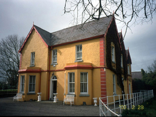 Mount Hawk Househouse · 2.0 mi
 Ardfert Franciscan FriaryVisitor information · 2.1 mi
 Statue of Roger CasementMemorial · 2.1 mi
 Ardfert FriaryVisitor information · 2.1 mi
 15th Centenary of the birth of St-BredanMemorial · 2.1 mi
 Ardfert CathedralHeritage attraction · 2.2 mi