What is recorded here
Located at the crest of a W-facing slope and overlooking the SW end of Long Lough which is 300m to the NW. This was described in 1968 as a circular grass and scrub-covered area (diam. 41m E-W; 38m N-S) defined by an overgrown earthen bank (at S: Wth of base 5m; Wth of top 1.3m; int. H 0.6m; ext. H 1.8m) W-N-SSW that was reduced to a scarp (at W: Wth 1.5m; H 0.8m) elsewhere. There was an outer fosse (at S: Wth of top 2.5m; Wth of base 1.2m; D 1m) NNW-E-SSW, which had probably been re-cut E-SSW. The entrance was a widened opening (Wth of base 4m) at E. It had been removed by 1995 (OSAP).
The above description is derived from the published 'Archaeological Inventory of County Monaghan' (Dublin: Stationery Office, 1986). In certain instances the entries have been revised and updated in the light of recent research.
Revised by: Michael Moore
Date of revision: 20 June 2018
The monument record does not grant public access. Check the route and ask the landowner before entering private land.
- What survives
- Recorded monument
Places near here
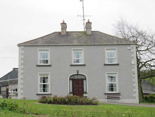 Lake Viewhouse · 466 yd
 Fastry fortFairy fort / earthen ringfort · 602 yd
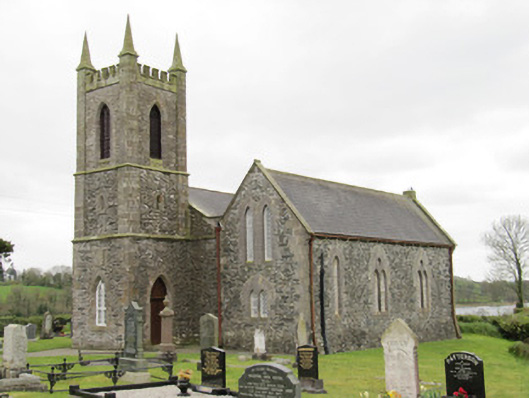 Drum Church (Currin)church/chapel · 1009 yd
 Fairy fort / earthen ringfort in Aghareagh EastFairy fort / earthen ringfort · 1131 yd
 CortoberMountain / peak · 1449 yd
 Whitelough PlantationsForest · 1.2 mi
 Brown's HillMountain / peak · 1.3 mi
 Church WoodForest · 1.5 mi
 Bawn in DrumsheilBawn · 2.1 mi
 Site of Old CastleCastle, unclassified · 2.9 mi
 Giant's GraveArchaeological place · 3.9 mi
 Graveyard in Drumgoon (clankee By.)Graveyard · 5.2 mi