What is recorded here
Fairy forts are human origins wearing a mistaken label. Lisbrannan is a true ringfort: a circular earthworks on a west-facing ridge above Long Lough, built to be seen, entered and defended. The fairy name comes later, when people stopped knowing who lived there and gave the shape to something unnamed.
Located at the crest of a W-facing slope and overlooking the SW end of Long Lough which is 300m to the NW. This was described in 1968 as a circular grass and scrub-covered area (diam. 41m E-W; 38m N-S) defined by an overgrown earthen bank (at S: Wth of base 5m; Wth of top 1.3m; int. H 0.6m; ext. H 1.8m) W-N-SSW that was reduced to a scarp (at W: Wth 1.5m; H 0.8m) elsewhere. There was an outer fosse (at S: Wth of top 2.5m; Wth of base 1.2m; D 1m) NNW-E-SSW, which had probably been re-cut E-SSW. The entrance was a widened opening (Wth of base 4m) at E. It had been removed by 1995 (OSAP).
The above description is derived from the published 'Archaeological Inventory of County Monaghan' (Dublin: Stationery Office, 1986). In certain instances the entries have been revised and updated in the light of recent research.
Revised by: Michael Moore
Date of revision: 20 June 2018
The monument record does not grant public access. Check the route and ask the landowner before entering private land.
- What survives
- Recorded monument
Places near here
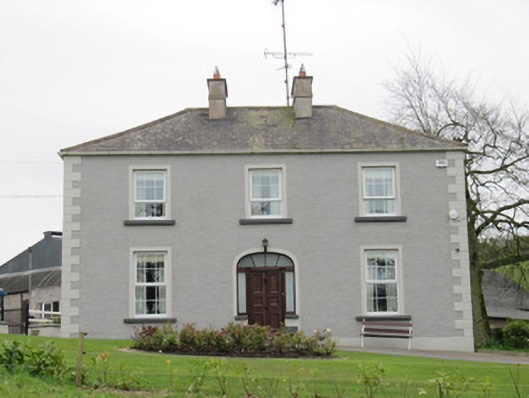 Lake Viewhouse · 466 yd
 Fastry fortFairy fort / earthen ringfort · 602 yd
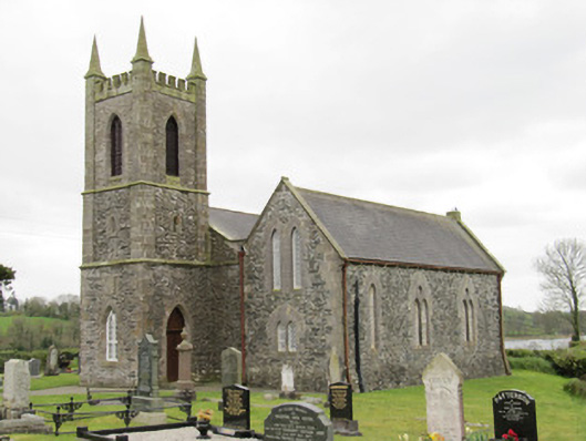 Drum Church (Currin)church/chapel · 1009 yd
 Fairy fort / earthen ringfort in Aghareagh EastFairy fort / earthen ringfort · 1131 yd
 CortoberMountain / peak · 1449 yd
 Whitelough PlantationsForest · 1.2 mi
 Brown's HillMountain / peak · 1.3 mi
 Church WoodForest · 1.5 mi
 Bawn in DrumsheilBawn · 2.1 mi
 Site of Old CastleCastle, unclassified · 2.9 mi
 Giant's GraveArchaeological place · 3.9 mi
 Graveyard in Drumgoon (clankee By.)Graveyard · 5.2 mi