What is recorded here
No related evidence exists for that exact request.
Near the summit of a hillock in pastureland. This circular rath (diam. 33m), in fair condition, is defined by a bank at SW and W, and elsewhere by a scarp. Large boulders are evident in the material of the bank.
Compiled by: Galway Archaeological Survey, UCG
Date of upload: 12 January 2018
The monument record does not grant public access. Check the route and ask the landowner before entering private land.
- What survives
- Recorded monument
Places near here
 Castle (in ruins)Castle, tower house · 620 yd
 Dalyston Houseicehouse · 786 yd
 R.C. ChapelChurch · 840 yd
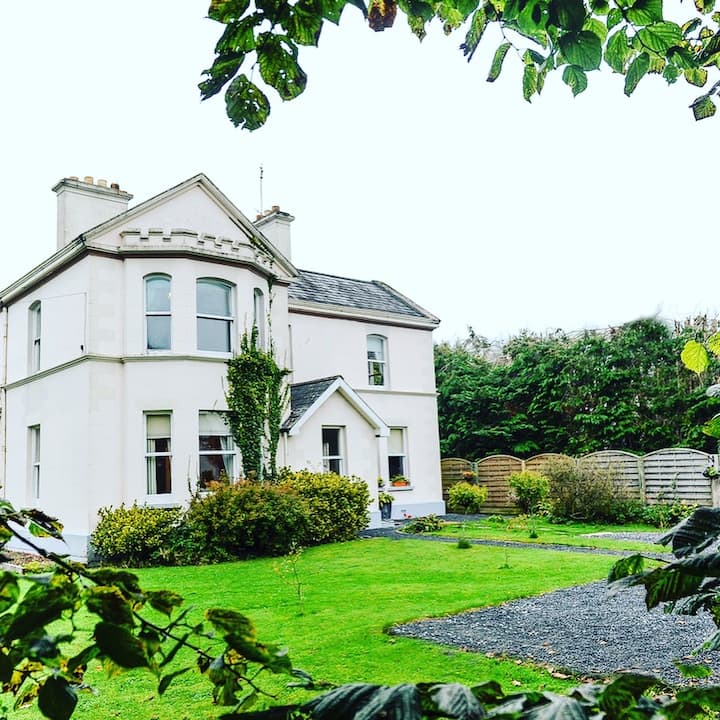 Enclosure in Dalystown DemesneEnclosure · 1288 yd
 St Erneens WellHoly well · 1334 yd
 Ballynamantragh CastleCastle, unclassified · 1725 yd
 Stone Islands SouthIslet · 3.7 mi
 Long PointHeadland · 3.9 mi
 Island McCooIslet · 4.0 mi
 Dartfield Horse MuseumHeritage attraction · 4.5 mi
 Quarryhill WoodWood · 4.8 mi
 Bog WoodForest · 5.2 mi