What is recorded here
Lecharrownahone holds a substantial oval ringfort where a small rectangular hut once pressed against the inner western bank. The earth and stone barrier still surrounds the grassy centre, marking a place where people likely lived, worked and faced the open country. Its size and strength suggest more than a temporary camp, perhaps a family home or local centre that has waited patiently beneath the fields.
Raised oval area (int. dims. 26.8m WNW-ESE; 22m NNE-SSW) enclosed by a substantial bank of earth and stone and the remains of an infilled fosse, the outline of which is identifiable in places. An earlier report (OPW 1969) suggested that the original entrance was probably at E and recorded the stone foundations of a rectangular structure (int. dims. 3.45m N-S; 2.3m E-W), probably a hut site, built against the inner face of the bank at W. Entrance to this structure at S.
The above description is derived from the published 'Archaeological Inventory of County Cavan' (Dublin: Stationery Office, 1995). In certain instances the entries have been revised and updated in the light of recent research.
Date of upload/revision: 22 December 2008
The monument record does not grant public access. Check the route and ask the landowner before entering private land.
- What survives
- Recorded monument
Places near here
 Killycluggin StoneVisitor information · 1647 yd
 Ballyheady CairnArchaeological place · 1683 yd
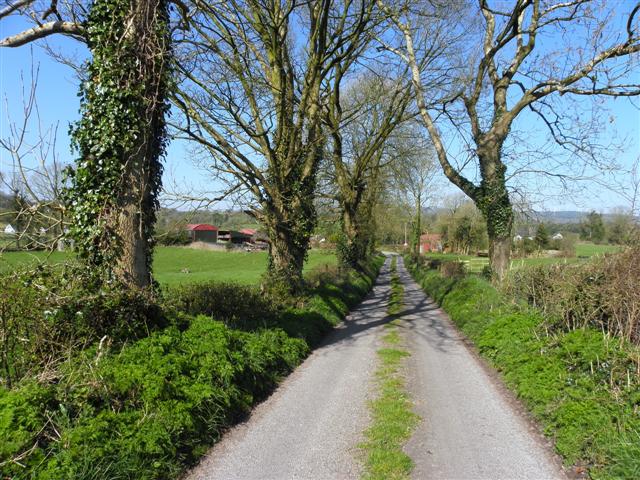
 Carrowmore Lecharrownahone ForestForest · 1694 yd
 Enclosure in KillarahEnclosure · 1.1 mi
 LissanoverCastle, unclassified · 1.1 mi
 Bellaheady MountainMountain / peak · 1.2 mi
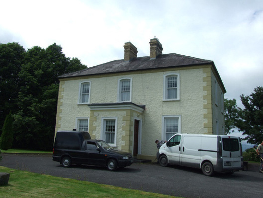 The Presbyterypresbytery/parochial/curate's house · 1.4 mi
 Killarah ForestForest · 1.5 mi
 Saint Patrick's Catholic Churchchurch/chapel · 1.5 mi
 Kieran Doherty TD Cavan Monaghan MemorialMonument · 1.8 mi
 Saint Mogue's IslandIslet · 2.3 mi
 Bilberry HillMountain / peak · 2.3 mi