What is recorded here
Fairy fort in Lecharrownahone is a raised circular area thirty-six metres across, enclosed by a substantial bank of earth and stone. A wide break at the southeast probably marks the original entrance, while a deep fosse remains visible only from the west-northwest to east-southeast. The site has stood inside farmland for centuries, its boundary absorbed into living fields, yet the shape still reads as a deliberate room set aside from the ordinary land.
Raised circular area (int. dims. 36.2m) enclosed by a substantial bank of earth and stone and a wide, deep fosse identifiable only from WNW-E-SSE and modified and incorporated into the field boundary from E-SSE. An earlier report (OPW 1969) recorded traces of an outer bank at the external lip of the fosse. Wide break in bank at SE probably represents original entrance.
The above description is derived from the published 'Archaeological Inventory of County Cavan' (Dublin: Stationery Office, 1995). In certain instances the entries have been revised and updated in the light of recent research.
Date of upload/revision: 22 December 2008
The monument record does not grant public access. Check the route and ask the landowner before entering private land.
- What survives
- Recorded monument
Places near here
 Killycluggin StoneVisitor information · 1530 yd
 Ballyheady CairnArchaeological place · 1757 yd
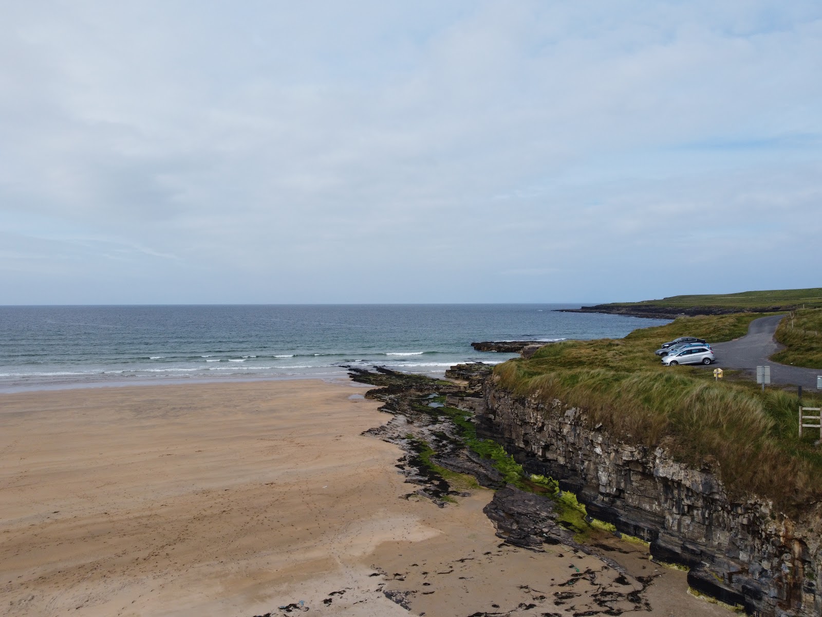 Carrowmore Lecharrownahone ForestForest · 1.0 mi
 LissanoverCastle, unclassified · 1.0 mi
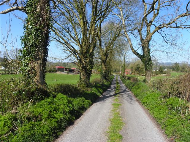 Enclosure in KillarahEnclosure · 1.1 mi
 Bellaheady MountainMountain / peak · 1.2 mi
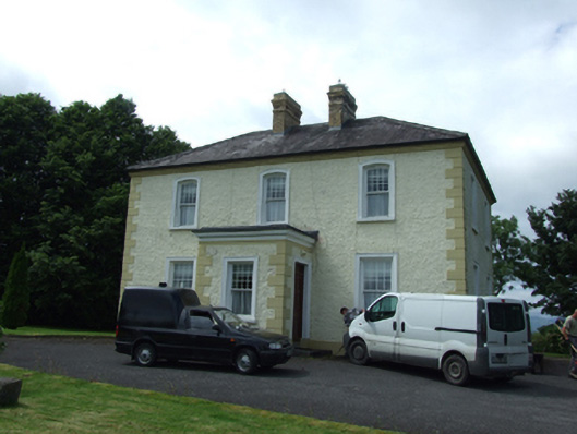 The Presbyterypresbytery/parochial/curate's house · 1.4 mi
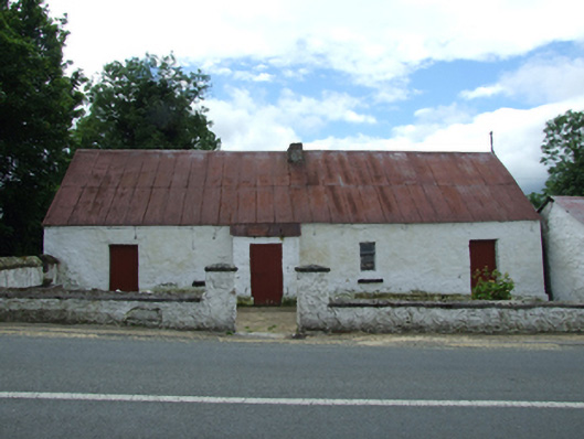 farm housefarm house · 1.4 mi
 Killarah ForestForest · 1.5 mi
 Kieran Doherty TD Cavan Monaghan MemorialMonument · 1.8 mi
 Saint Mogue's IslandIslet · 2.3 mi
 Bilberry HillMountain / peak · 2.4 mi