What is recorded here
Leamcon is an earthen ringfort marked on old maps as an oval enclosure roughly forty metres long, but no visible trace remained when inspected in October 1986. It may have stood as a boundary, a home or a warning on its hillock before pasture and time erased the ridge. The fort is gone except in the line drawn across the field, yet that line still implies a shape someone once built and another forgot.
On a hillock in pastureland. Marked on the OS 6-inch maps as an oval enclosure (c. 40m NW-SE; c. 25m NE-SW). On inspection in October 1986 no visible surface trace survived.
Compiled by: Galway Archaeological Survey, UCG
Date of upload: 11 April 2019
The monument record does not grant public access. Check the route and ask the landowner before entering private land.
- What survives
- Recorded monument
Places near here
 TobermacduaghHoly well · 481 yd
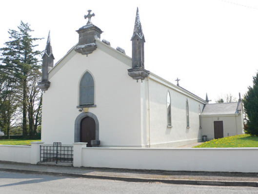 Saint Mary's Catholic Churchchurch/chapel · 576 yd
 R.C. Chapel and School Ho.Chapel · 661 yd
 CaveMan-made underground passage · 1084 yd
 Ballynamantragh CastleCastle, unclassified · 1.6 mi
 Stone Islands SouthIslet · 1.8 mi
 Long PointHeadland · 2.0 mi
 Island McCooIslet · 2.0 mi
 Castle (in ruins)Castle, tower house · 2.4 mi
 Dartfield Horse MuseumHeritage attraction · 4.5 mi
 Scalpeen RockNamed rock · 4.9 mi
 Derrybrien Bog SlideHeritage attraction · 6.2 mi