What is recorded here
Fairy forts in Limerick are often hidden in pasture or rough ground. This one is a circular earth bank about twenty-eight metres across, partly buried under vegetation and marked by cattle paths rather than people. It may have been a small dwelling, a boundary marker, or a place people avoided because it belonged to someone else. The forgoes and local story treat such rings as fairy homes, not human ruins.
In pasture, on N-facing slope. Circular area (27.8m N-S) enclosed by earth-and-stone bank (int. H 0.4m; ext. H 1.9m) with external fosse (Wth 1.5m; D 0.2m). Entire site is covered in dense undergrowth and trees, and access is only possible where cattle have made paths into enclosure on N and S sides. Internal profile of bank varies but is generally a low and gradual slope. Fosse barely perceptible on N and E sides and is truncated on E side by N-S field boundary.
Compiled by: Denis Power
Date of upload: 26 August 2011
The monument record does not grant public access. Check the route and ask the landowner before entering private land.
- What survives
- Recorded monument
Places near here
 Foynes Flying Boat & Maritime MuseumMuseum · 890 yd
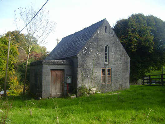 Foynes Church (Shanagolden)church/chapel · 901 yd
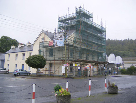 Áras Ídehotel · 919 yd
 Foynes Island ViewpointViewpoint · 1106 yd
 St. Patricks SeatRitual site, holy/saint's stone · 1223 yd
 Grave YardGraveyard · 1238 yd
 Gammarel PointHeadland · 1.0 mi
 Foynes IslandIsland · 1.2 mi
 Battery PointHeadland · 1.2 mi
 Robertstown Castle (in ruins)Castle, tower house · 1.6 mi
 Monterey CypressMonterey Cypress · 1.7 mi
 Dysert Castle (in ruins)Castle, tower house · 2.5 mi