What is recorded here
Laravoolta holds a circular earthen ringfort thirty-five metres across, marked by a one-metre bank and a deeper scarp on the western edge. The eastern break measures five metres wide, while a modern gap opens to the northwest. A faint external depression curves along the northern fence line, suggesting the lost shape of a surrounding ditch. These are not fairy tricks but human hands shaping soil into a defensible home.
Circular area (35.4m N-S; 34.5m E-W) enclosed by earthen bank (H 1m) E->W; scarp (H 1.75m) elsewhere. External fosse survives as slight depression inside field fence tangential to N side of enclosure. Break in bank to E (Wth 5m); modern gap to NW.
The above description is derived from the published 'Archaeological Inventory of County Cork. Volume 1: West Cork' (Dublin: Stationery Office, 1992). In certain instances the entries have been revised and updated in the light of recent research.
Date of upload/revision: 14 January 2009
The monument record does not grant public access. Check the route and ask the landowner before entering private land.
- What survives
- Recorded monument
Places near here
 Kill Burial Ground (Disused)Burial ground · 512 yd
 Boulder-burial in LissarourkeBoulder-burial · 1007 yd
 KilnKiln, lime · 1440 yd
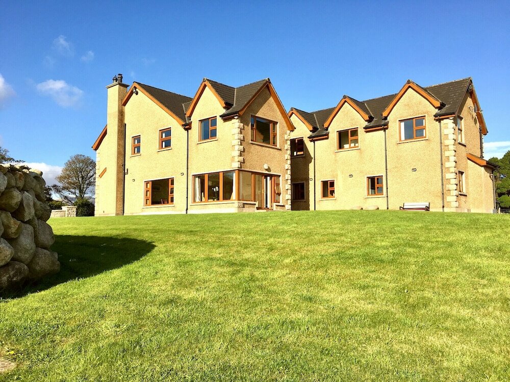 Country house in KillaneerCountry house · 1.3 mi
 Green HillMountain / peak · 1.7 mi
 Castle RockNamed rock · 3.5 mi
 Michael Collins MemorialMemorial · 3.7 mi
 The GlenWood · 4.1 mi
 Towers (in Ruins)House, fortified house · 4.1 mi
 Tobar MacloonaboySpring · 4.6 mi
 Castle DerryCastle · 4.7 mi
 Irish National Forestry FoundationNature reserve · 4.8 mi