What is recorded here
Situated on a low-lying landscape, with a small S-N stream c. 100m to the E and a small W-E stream c. 100m to the N. The cropmark of a circular enclosure (int. diam. c. 35m) defined by an inner fosse feature and a narrower outer ditch (ext. diam. c. 45m) is visible on aerial photographs (ASIAP (101) 0-2). The features are not visible on the N side of an ENE-WSW field bank and the cropmarks of single drains in the vicinity do not connect with the defining features.
Compiled by: Michael Moore
Date of upload: 12 February, 2014
The monument record does not grant public access. Check the route and ask the landowner before entering private land.
- What survives
- Recorded monument
Places near here
 Enclosure in RamstownEnclosure · 708 yd
 Shelbourne Lodgehouse · 975 yd
 Saint Mogue's Rectoryrectory/glebe/vicarage/curate's house · 1025 yd
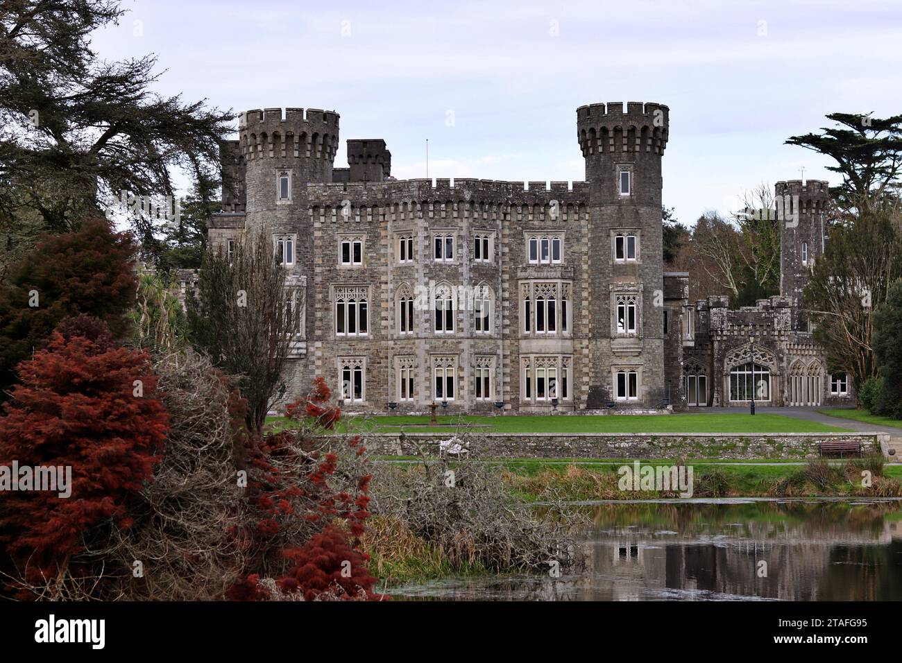 Lady WellHoly well · 1095 yd
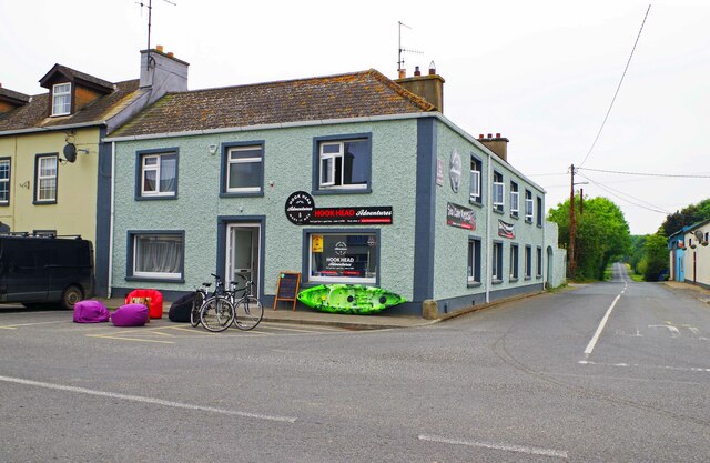 Hook Tourism (Fethard Office)Visitor information · 1347 yd
 Carnivan BeachBeach / strand · 1356 yd
 Fethard CastleCastle, hall-house · 1531 yd
 CastleCastle, motte · 1588 yd
 AshgroveVisitor information · 1602 yd
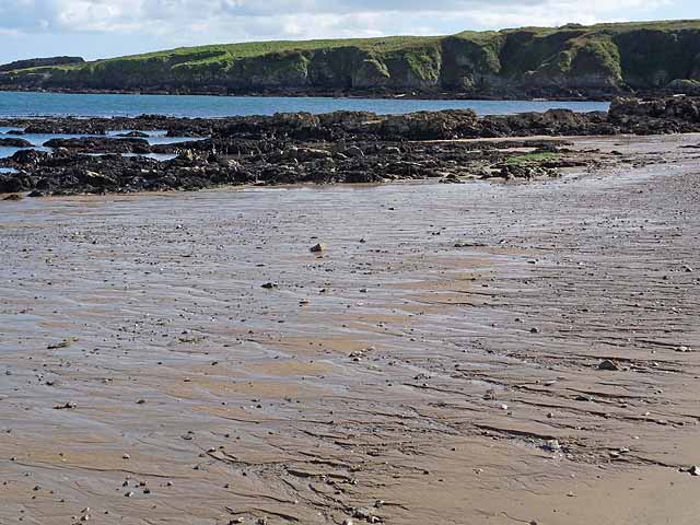 Baginbun BeachBeach / strand · 1655 yd
 Baginbun HeadHeadland · 1.1 mi
 Carricjmore CliffCliff · 2.9 mi