What is recorded here
Half a hectare of grass, a ring of dirt, a ditch of water, and a gap where a road may have crossed. The shape is still clean enough to measure, though no house, hearth or name has survived to explain who lived inside or when they left. The fort stands beside a modern motorway in County Kildare, old enough to be forgotten and clear enough to be seen.
On level pasture, and now immediately E of the M7 motorway. Described in 1979 as a circular area (int. diam. 35m) enclosed by an overgrown but well-defined earthen bank (int. H 1m; W 6m) and water-filled, outer fosse (Wth 4m), with an entrance gap (Wth 5m) and corresponding causeway (Wth 3m) at SE (SMR file). The site is a Registered Historic Monument and is visible on a 2005 aerial photograph (OSi Orthophoto)
Compiled by: Gearóid Conroy
Date of upload: 10 June 2011
The monument record does not grant public access. Check the route and ask the landowner before entering private land.
- What survives
- Recorded monument
Places near here
 Church in ruinsChurch · 1254 yd
 Enclosure in Newhall (ladytown Ed)Enclosure · 1291 yd
 Limerick Bridgebridge · 1.2 mi
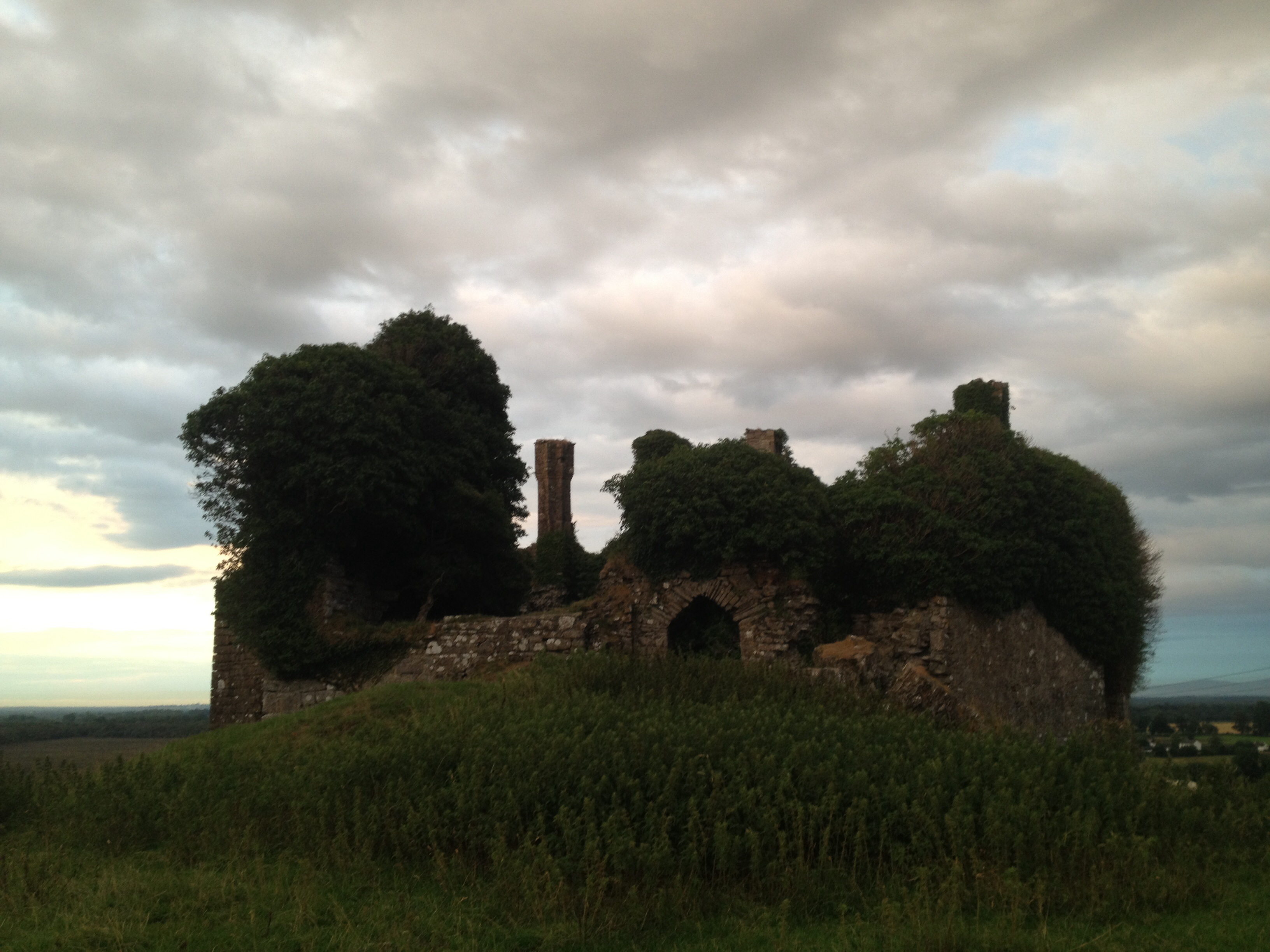 CastleCastle, unclassified · 1.3 mi
 Enclosure in Moortown (ladytown Ed)Enclosure · 1.4 mi
 European Crab AppleEuropean Crab Apple · 1.4 mi
 Castle RagCastle, tower house · 1.6 mi
 Monread District Park WoodsWood · 3.3 mi
 Newbridge SilverwareMuseum · 3.7 mi
 Grand Canal WayVisitor information · 6.1 mi
 Councillor Jim MileyMemorial · 7.9 mi
 Proclamation of the Irish RepublicMemorial · 7.9 mi