What is recorded here
Lackenbehy holds a thirty-metre earthen ring on a north-west slope, its two-metre bank enclosing a gentle downgrade toward the entrance. People called it a fairy fort, perhaps because the shape still suggests more life than abandoned stone. It may have been a farmhouse, a refuge or a marker for a family line, but the bank remains firm enough to touch and the grass still grows inside the circle.
In pasture, on NW-facing slope. Circular area (30m E-W; 29.2m N-S) enclosed by earthen bank (H 2.2m). Entrance to NW. Interior slopes gently down to NW.
The above description is derived from the published 'Archaeological Inventory of County Cork. Volume 2: East and South Cork' (Dublin: Stationery Office, 1994). In certain instances the entries have been revised and updated in the light of recent research.
Date of upload/revision: 14 January 2009
The monument record does not grant public access. Check the route and ask the landowner before entering private land.
- What survives
- Recorded monument
Places near here
 Folacht FiadhFulacht fia · 489 yd
 IndicatedFairy fort / earthen ringfort · 623 yd
 KilnKiln, lime · 1.3 mi
 Curragh WoodsWood · 1.4 mi
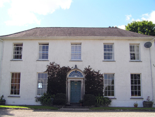 Glenviewcountry house · 1.5 mi
 Leamlara Castle (in Ruins)Castle, tower house · 1.9 mi
 Harper's IslandIslet · 3.7 mi
 Rossmore BayBay · 3.7 mi
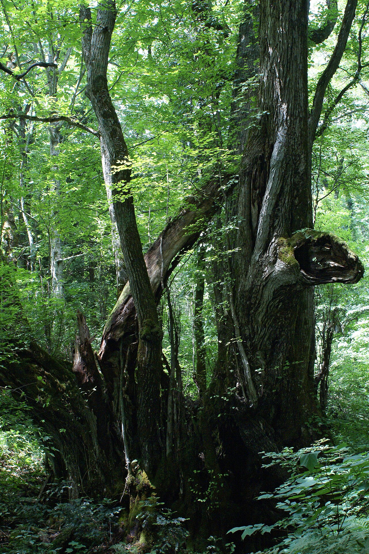 Katsura treeKatsura tree · 3.8 mi
 Gleeson MemorialMemorial · 4.0 mi
 Fota Arboretum and GardensHeritage attraction · 4.0 mi
 Noel Collins BridgeVisitor information · 4.1 mi