What is recorded here
Lackenbehy holds a lost ringfort where a field fence still bends around an invisible circle. The earth has smoothed the ancient wall into low undulations, but the boundary remains clear enough for local people to avoid destroying what they no longer see. They are not preserving a monument so much as remembering that the ground already knows its own shape.
In pasture, on NE-facing slope. Shown on 1842 OS 6-inch map as circular enclosure; on later eds OS 6-inch map as curve in N-S field fence. Levelled; low undulations define circular area (21m E-W). Field fence curves to respect enclosure.
The above description is derived from the published 'Archaeological Inventory of County Cork. Volume 2: East and South Cork' (Dublin: Stationery Office, 1994). In certain instances the entries have been revised and updated in the light of recent research.
Date of upload/revision: 14 January 2009
A fairy fort or earthen ringfort in Lackenbehy, likely dating to the early medieval period, is indicated by its circular enclosure shown on the 1842 Ordnance Survey map and by low, curved earthworks visible today. Local tradition associates such sites with fairy lore, and the structure's alignment with field boundaries suggests long-standing cultural and agricultural significance.
The monument record does not grant public access. Check the route and ask the landowner before entering private land.
- What survives
- Recorded monument
Places near here
 Folacht FiannFulacht fia · 708 yd
 Ballycurrany Grave YardBurial ground · 810 yd
 KilnKiln, lime · 1313 yd
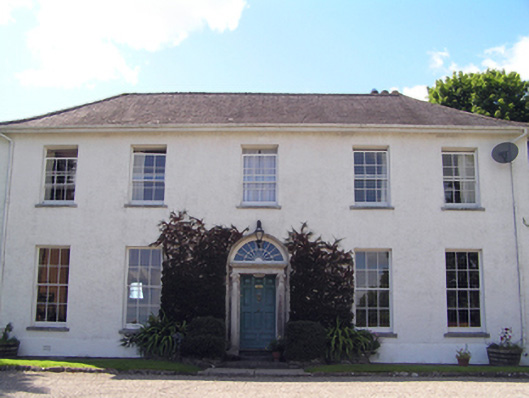 Glenviewcountry house · 1.3 mi
 Curragh WoodsWood · 1.3 mi
 Leamlara Castle (in Ruins)Castle, tower house · 1.4 mi
 Graveyard in Broomfield WestGraveyard · 3.1 mi
 Barryscourt CastleCastle · 3.3 mi
 Barrys Court Castle, Tower(s)Castle, tower house · 3.3 mi
 Nellie Cashman MonumentMemorial · 3.9 mi
 Moanbaun ForestForest · 3.9 mi
 Harper's IslandIslet · 4.3 mi