What is recorded here
Knockroe held a twenty-five metre earthen ring on a western slope until ploughs and progress erased it. A bent dry-stone wall still marks the vanished circle, preserving the shape of a home or hide that no longer stands. The fairies may have built it, or people may have forgotten it, but the stones remember the curve even when the earth has lost it.
In pasture, on W-facing slope, in area of outcropping limestone. Monument, depicted as embanked circular enclosure (diam. c. 25m) on 1841 OS 6-inch map, has been levelled. No trace of monument evident, but curve in dry-stone field wall (H 0.85m; Wth 1.2m) W->E shows position of enclosure; curve defines D-shaped area (24.7m E-W; 15.3m N-S).
Compiled by: Denis Power
Date of upload: 26 August 2011
The monument record does not grant public access. Check the route and ask the landowner before entering private land.
- What survives
- Recorded monument
Places near here
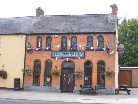 RIC barracksRIC barracks · 682 yd
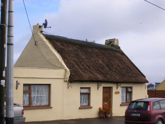 An Teach Tuíhouse · 801 yd
 Bolane CastleCastle · 1017 yd
 Enclosure in KildimoEnclosure · 1157 yd
 Hut site in GlennameadeHut site · 1241 yd
 Celtic Park and GardensHeritage attraction · 1.3 mi
 Ballyculhane CastleCastle · 1.3 mi
 Stonehall Visitor FarmHeritage attraction · 2.2 mi
 Grass IslandIslet · 3.6 mi
 Mellon PointHeadland · 3.6 mi
 Maiden RockNamed rock · 3.6 mi
 European BeechEuropean Beech · 3.8 mi