What is recorded here
Knockroe held a twenty-metre earthen ring on an east-facing slope, visible on the 1841 map but absent when walked. The land swallowed the fort, perhaps through ploughing, building or the simple patience of soil. What was shaped by human hands became indistinguishable from the hill, leaving behind a coordinate and a vanished circle.
In scrub-covered area, on break in ENE-facing slope. Monument, depicted as embanked circular enclosure (diam. c. 20m) on 1841 OS 6-inch map, has been levelled. No trace of monument evident when inspected.
Compiled by: Denis Power
Date of upload: 26 August 2011
The monument record does not grant public access. Check the route and ask the landowner before entering private land.
- What survives
- Recorded monument
Places near here
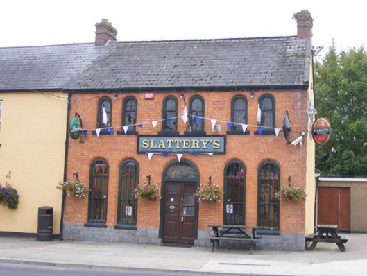 RIC barracksRIC barracks · 717 yd
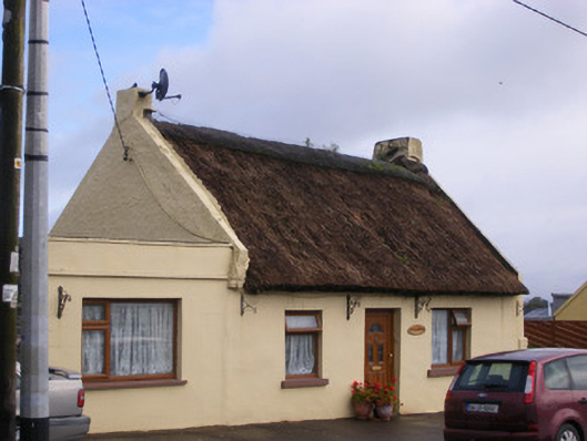 An Teach Tuíhouse · 842 yd
 Bolane CastleCastle · 974 yd
 Hut site in GlennameadeHut site · 1188 yd
 Enclosure in KildimoEnclosure · 1191 yd
 Celtic Park and GardensHeritage attraction · 1.3 mi
 Ballyculhane CastleCastle · 1.4 mi
 Stonehall Visitor FarmHeritage attraction · 2.2 mi
 Mellon PointHeadland · 3.6 mi
 Grass IslandIslet · 3.6 mi
 Maiden RockNamed rock · 3.6 mi
 European BeechEuropean Beech · 3.8 mi