What is recorded here
Knockroe holds a broken earthen ring where a farm track now cuts through ancient soil. The bank stands barely eighty centimetres high in places, yet it still draws a circle wide enough for a small household or a forgotten ritual. Derk Hill watches from a kilometre east, suggesting the site claimed visibility rather than defence. People may have lived, hidden or performed ceremonies inside this shallow cup before pasture reclaimed it.
In reclaimed pasture 1.1km W of the summit of Derk Hill (OD 781 ft.). Enclosure (LI033-152----) 60m to NE. Monument depicted on OSi 25-inch map as a raised roughly circular-shaped area (dims. 24m N-S; 23m E-W) enclosed by a bank from NE-E and from SE-SW only. Surveyed by the ASI in 2007 and described as a circular-shaped area (dims. 23m N-S; 24m E-W) enclosed by a low bank (Wth 5.5m; int. H 0.15m; ext. H 0.8m) from NNE-ESE and from SSE-S, reduced to a scarp (H 0.5m) elsewhere. Interior slopes to gently to SE. Outline of monument visible on OSi orthophoto taken between 2005-12. Poorly preserved monument visible on Google Earth orthoimage dated 20/09/2020 where a farm track intersects the monument at NW.
See attached Google Earth orthoimages
Compiled by: Martin Fitzpatrick
Date of upload: 30 March 2021
The monument record does not grant public access. Check the route and ask the landowner before entering private land.
- What survives
- Recorded monument
Places near here
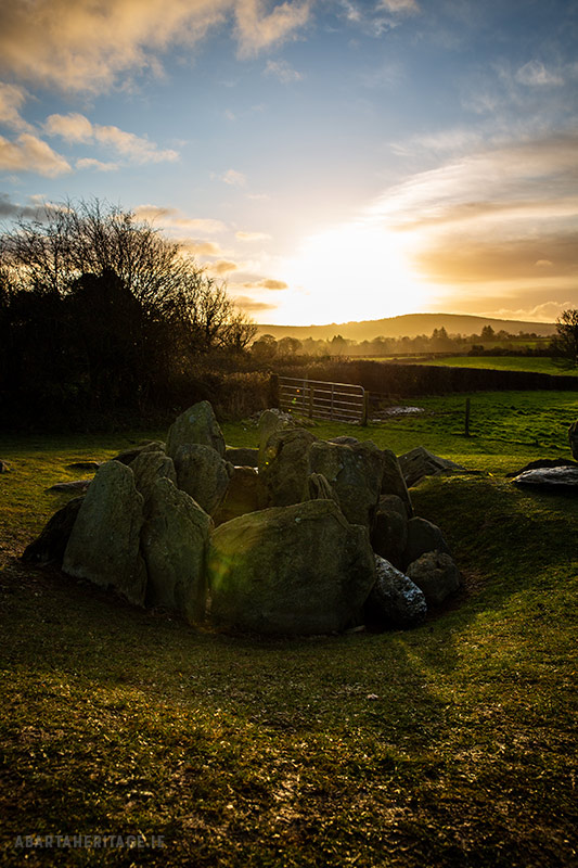 Enclosure in Knockroe (coonagh By.)Enclosure · 266 yd
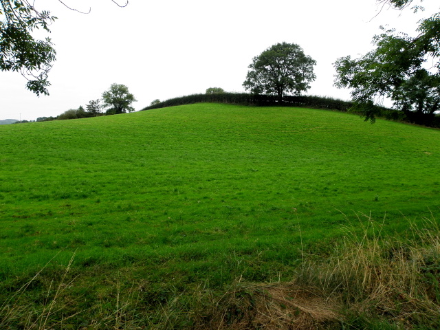 BarrowBarrow, ditch barrow · 401 yd
 Carrickittle RockCastle, unclassified · 1375 yd
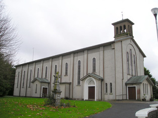 Catholic Church of Saint Patrick and Saint Brigidchurch/chapel · 1.1 mi
 St. Patrick's WellSpring · 1.2 mi
 R.C. ChapelChurch · 1.2 mi
 Kilteely HillMountain / peak · 1.4 mi
 (Site of) CastleCastle, unclassified · 1.4 mi
 KnockseefinMountain / peak · 2.4 mi
 Flat cemetery in Knockainy WestFlat cemetery · 5.1 mi
 St Patrick's WellSpring · 6.8 mi
 Ballinvreena LoopVisitor information · 9.8 mi