What is recorded here
Knocknasnaa holds a faded ringfort where a field boundary now cuts across the scarped edge. The earth still marks a thirty-metre circle in the pasture, though the embankment has been levelled into a low, irregular rim. It may have been a home, a boundary marker or a place of story, but the land has kept only the shape of its existence.
In undulating pasture. Monument, depicted as embanked circular enclosure (diam. c. 30m) on 1841 OS 6-inch map, has been levelled but is still evident as irregular scarped edge (max. H 0.55m; Wth 4.75m) defining roughly circular area (28m N-S; 32m E-W). This is bisected by field boundary travelling on SW-NE axis. Level interior under pasture.
Compiled by: Denis Power
Date of upload: 26 August 2011
The monument record does not grant public access. Check the route and ask the landowner before entering private land.
- What survives
- Recorded monument
Places near here
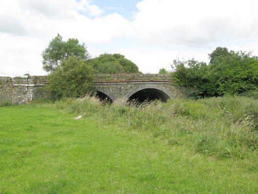 bridgebridge · 933 yd
 BarrowBarrow, ring-barrow · 1046 yd
 Purt CastleCastle · 1527 yd
 Enclosure in KnockbrackEnclosure · 1688 yd
 Allaghaun Bridgebridge · 1.2 mi
 Lawson's CypressLawson's Cypress · 4.6 mi
 Barnagh HillMountain / peak · 5.3 mi
 CastleCastle, tower house · 6.6 mi
 John B. KeaneMemorial · 7.7 mi
 Holocaust MemorialMemorial · 7.7 mi
 Kerry Writers' MuseumMuseum · 8.2 mi
 Three CountiesPicnic place · 8.3 mi